The Adirondacks has some of the most rooted and interesting history in the northeast — and possibly the country — and a passion of mine is reading about it and experiencing it. After reading through a book call "Big Moose Lake in the Adirondacks: The Story of the Lake, the Land, and the People," I had to go and check out Billy's Bald Spot and Brown's Rock.
I've flirted with this hike for a while now, starting way back in the summer of 2014 when I was adventuring in the area over near Razorback Pond. We found the private trail on a drive, but we were still a bit unsure if it was truly open to the public. Over the winter I did some research on the trail and that's when I ran into this book online and started reading it. It sounded like such a neat area along the ridge high above the lake that it drove me to look deeper into the "Billy's Bald Spot" trail. Come to find out, it is open to the public according to the Adirondack Mountain Club's West-Central Region edition of their trail guides.
Now it was a matter of planning out the day and finding a hiking partner for the adventure. Sure, it's not an epic hike by any means, but I prefer to share my "misery" with others. You know the saying. Of course I say it with all the love in the world.
Billy's Bald Spot: The History
Billy's Bald Spot was named after Billy Dutton, an organ builder who owned an island on Big Moose Lake where he entertained guides, patrons and musicians alike. This bald, rocky crest lies above the western part of the lake and was a favorite location of Billy's, so the name came to be and it just stuck. Many visitors came from far around to hike the trail to the bald spot, and even today people travel out of their way to go there. It is unclear if the current trail follows the old route up to the view, but it is clear that it is a worthy destination. While the views are surely a bit grown in since Billy saw them, it still offers a great retreat.
Billy's Bald Spot: The Hike
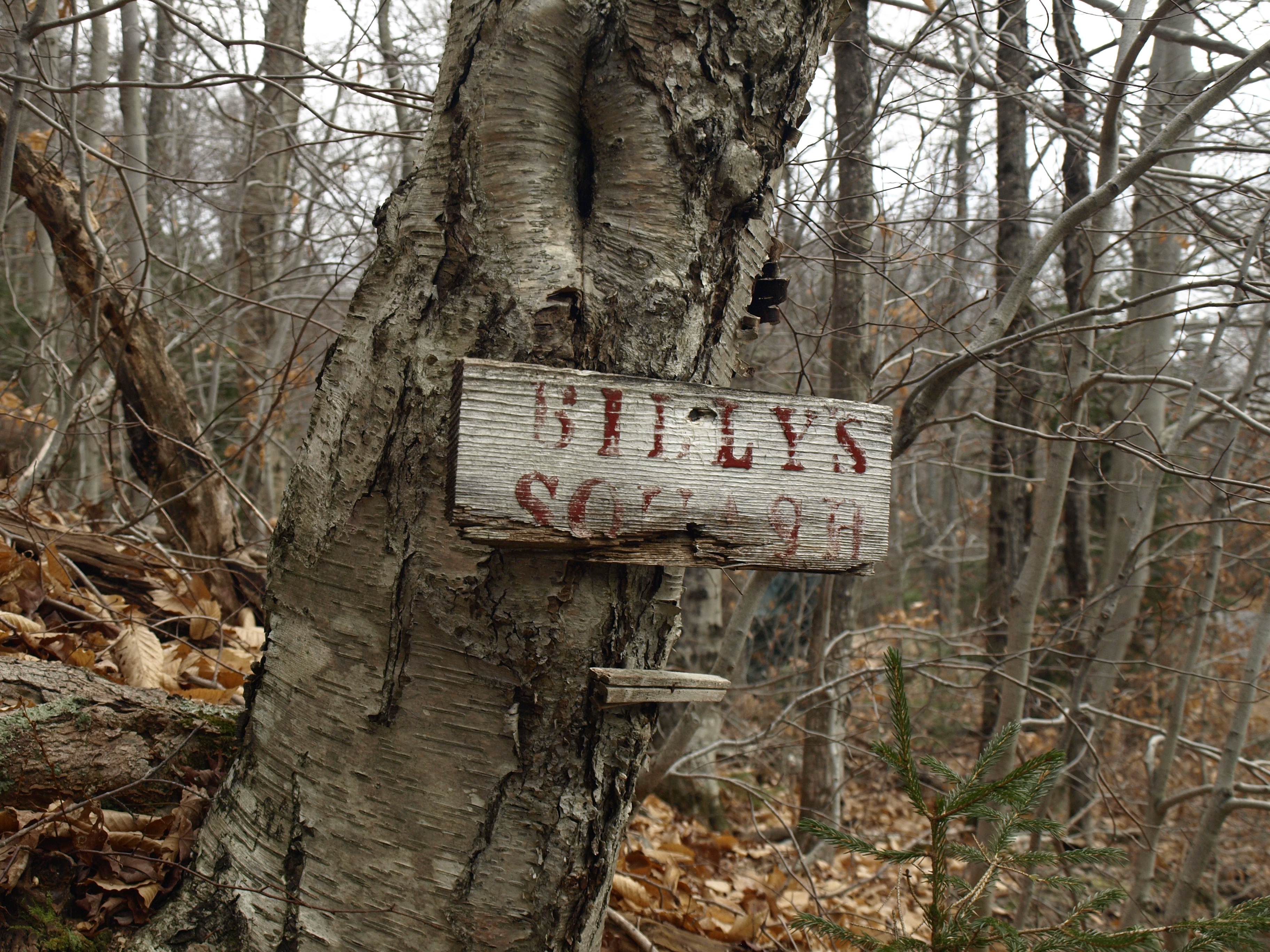
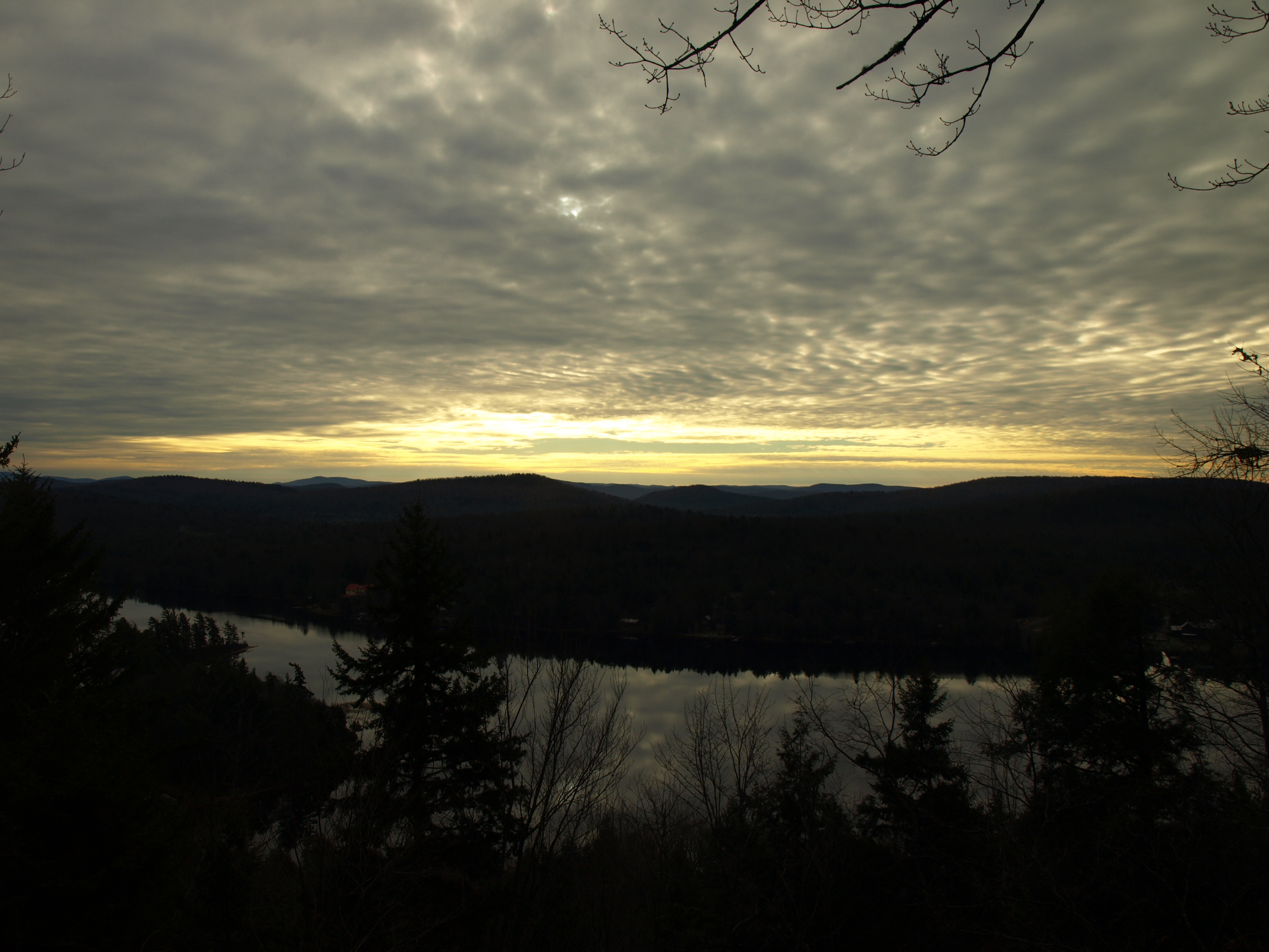
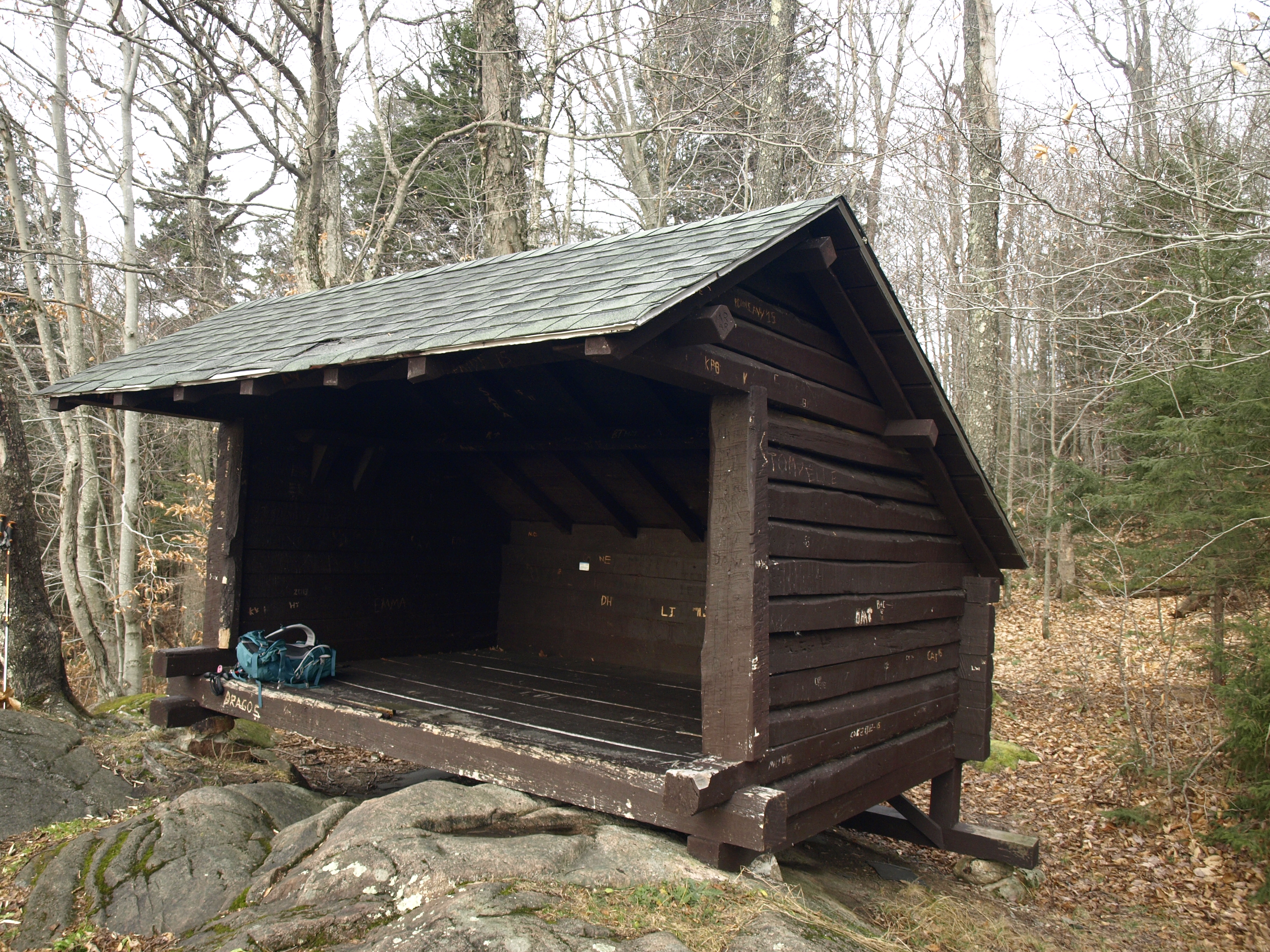
The trail is a bit tough to find. You'll need a keen eye to see the trailhead sign on the faded boards which reads "Billy's Squash." There isn't much room for parking, but just a bit further up the road we squeezed onto the shoulder. It was a cold morning this day with a heavy frost on the trees and the clouds still covering the warming rays of the sun, but it wouldn't be long before we stripped off the coat layer. Climbing steeply up the narrow trail we followed the arrows that switchbacked us up onto the ridge area. It wouldn't be long, only about a half mile, before we came to Billy's Bald Spot. Now resting on the rocky crest was a lean-to and from there it was a spectacular view of a late sunrise over Big Moose Lake. The lake appeared very close and we could clearly see the island I suspected to be once owned by Billy Dutton himself.
Now it was off to Squash Pond, located roughly another half mile away along a trail, so we thought was to be the case. From the lean-to, the trail which was so nicely marked and maintained was all but apparent. However, with a bit of looking around we did locate the old trail back under some tall evergreens. The trail appears to be a forgotten route to the pond, but its footprint was still noticeable enough to follow. Dead trees lie across it and heavy leaf cover from years of shedding and lack of consistent use hides it from obvious sight. No more than a couple feet wide, it meandered through the open forest and crested right near the highest point of Billy's Bald Spot Mountain, which for all intents and purposes is wooded.
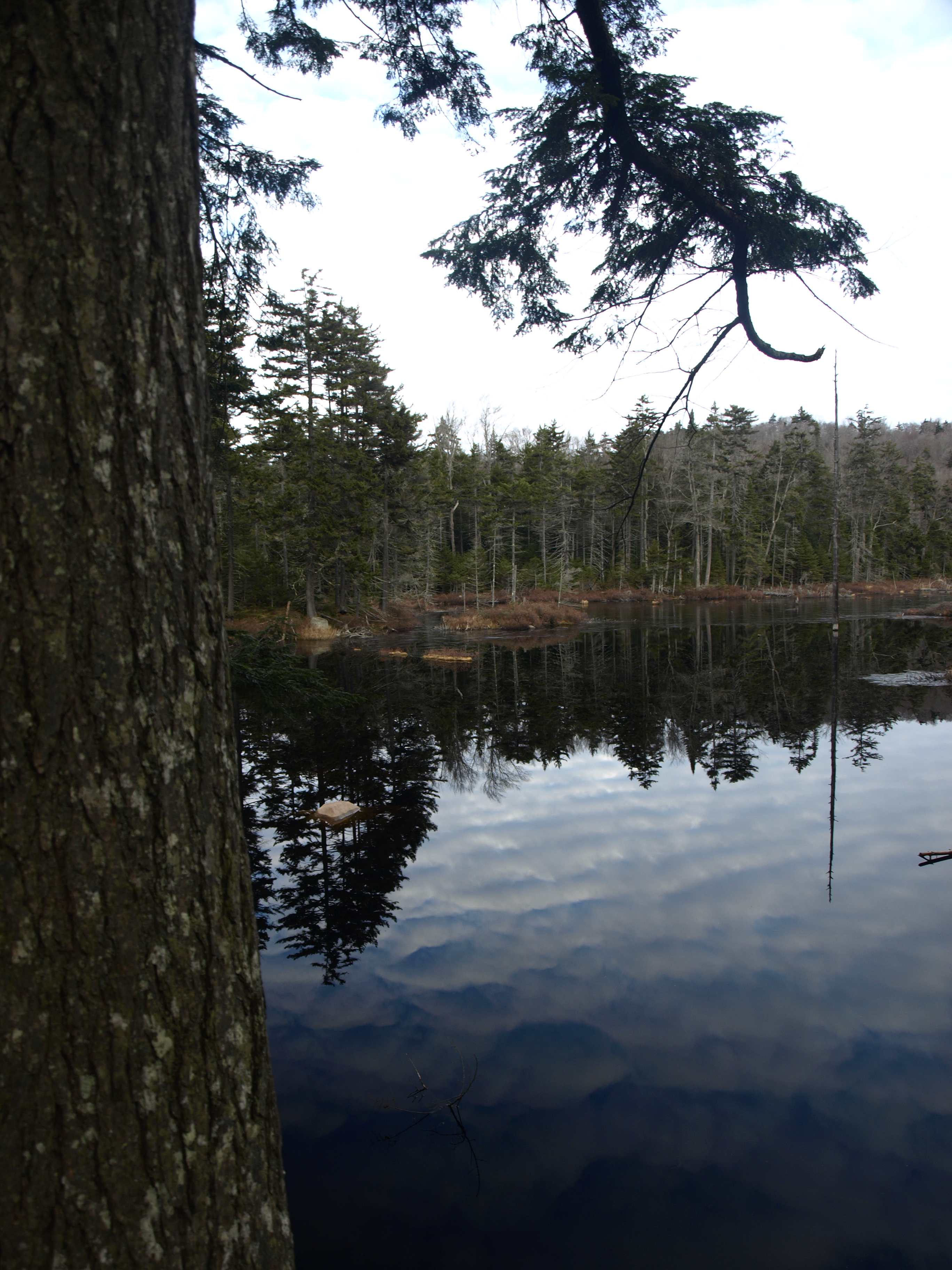
We descended slightly as we dropped off the peak, and the ever-so-hard-to-follow trail lead us to Squash Pond. This small, quaint backcountry body of water appeared to have resident beavers, which is pretty much expected for most ponds in the Park. At the pond is where the state boundary line becomes more than obvious, with its heavily yellow blazed layout. We would use this to access Browns Rock and assure that we stayed on state land and to not impose upon the private land.
Brown's Rock: The History
Brown's Rock was named after Leslie Warnick Brown, who was a tobacco dealer from Utica, New York. He was one of the first to own land in the Big Moose Region. Upon the land he would build a large network of elaborate buildings, and the property extended well out over most of North Bay and the island located within that bay. There was, and may still be, a trail from the Waldheim Adirondack Lodge to the summit.
Brown's Rock: The Hike
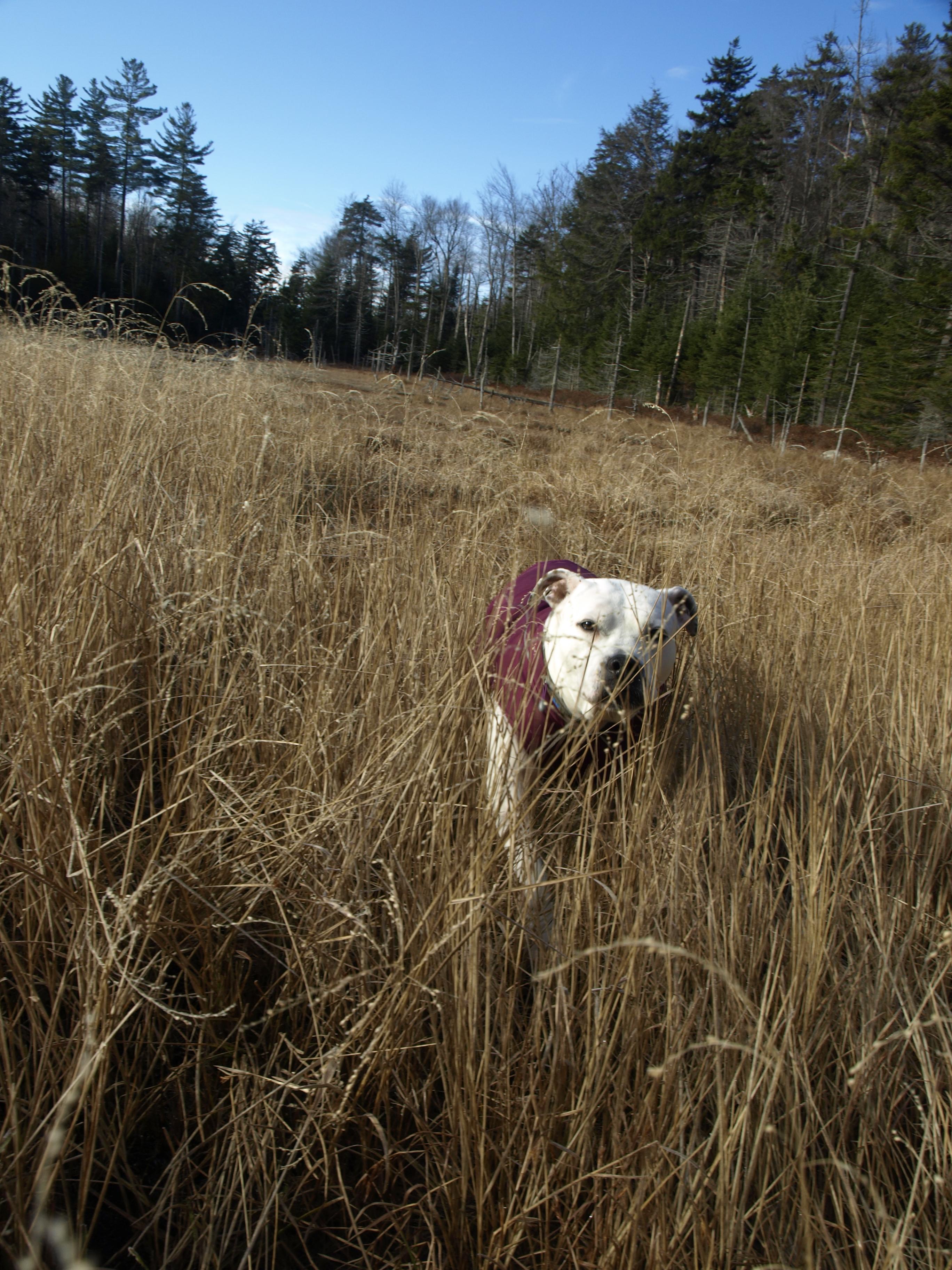
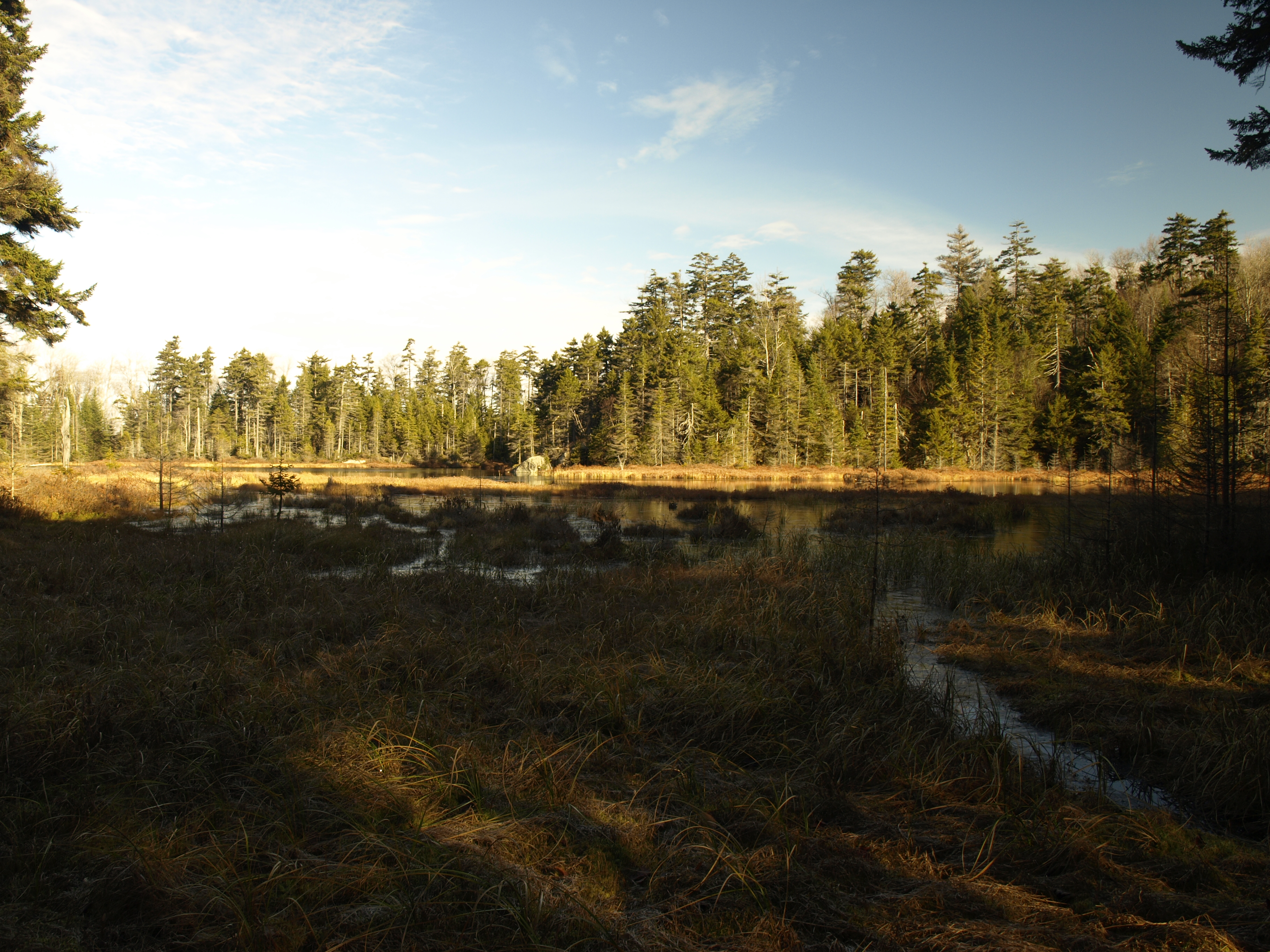
From Squash Pond we had a bit of trouble fighting the dense spruce growth. The state boundary line led us right through the heart of it, and not being brushed out like many boundary lines are, this was very slow going. Where dense spruce was not, a tangle of chin hobble took over. It wasn't long before we bailed on following the state boundary line and crossed the valley to a higher ridge. Heading west a bit further into state territory, we crossed a wetland of sedge bunches, still crispy from the night's frost. From here we had a nice view down toward Squash Pond but more importantly we had an easier time hiking through the open forest. Not far out of the valley lies Pocket Ponds, another backcountry pond whose access is blocked by its seclusion. Its hidden value gave us the need to visit it, so we made our way through the rocky terrain to the southeast shore, where its true beauty was accented by the sun's rays.
From the pond we needed to get up on the ridge for the best direct access to Brown's Rock. The ridge, covered in mostly young maples and beech, slapped us around, and the small stands of young spruce made us move about to avoid them. The flat ridge, with its leafless trees, offered slightly obstructed views out over Big Moose Lake, which we took with open arms. We needed to drop off of this ridge into a saddle with Brown's Rock, and we would do so on a very steep track. As we butt slid off of the steep rock lips and dropped ever so close to the bottom, we failed to see any discerning rock on the peak that would potentially warrant any views out over the lake, but we remained hopeful. In the saddle we stepped upon a blue marked trail. Old and unmaintained, it was sure to access Brown's Rock. If it were not as heavily marked in deep blue plastic disks it would be totally indiscernible as a trail, but as the case may be it aided us in a direct and somewhat open route to the wooded summit.
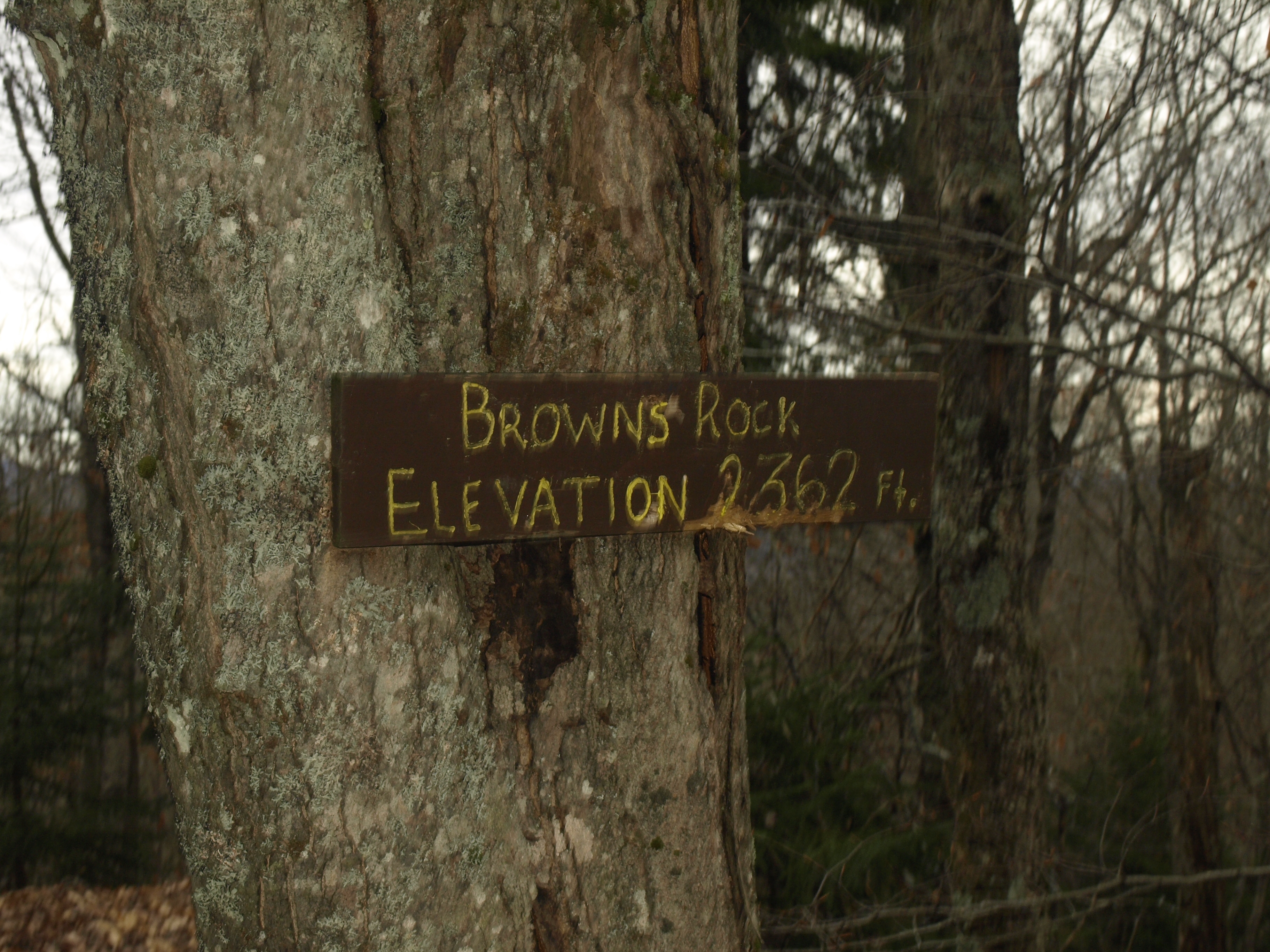
A summit sign marked the top and the trail continued on past, possibly down to the Waldheim. We poked around for a bit to see if we could find a view, but there was nothing more than obstructed glimpses to the north. We followed the blue trail for a bit but it soon passed onto what appeared to be unposted private land. We did not want to impose and we honestly had no surefire knowledge of its final destination, which could have landed us miles from our car.
We followed the blue trail back to the saddle, where it led sharply northwest toward Twitchell Lake, which would surely be a long way from the trailhead. We would once again need to make tracks back along the ridge and to the trail we followed up. It was important to stay on state land, and the steep slopes to the road where we parked would eventually lead us to private property and the many camps located along the shore of Big Moose Lake. The hike back to the trail was slightly different than the trip in, but it would prove to be uneventful, which on occasion is a nice feature to our walks in the woods.
Looking for more adventures in the Adirondacks? Check out the links on this page for ideas, or grab a bite to eat instead!


