The wonders of waters
This will most likely put an end to my visits to the Moose River Plains for the season, but with that being said, I might be coerced to tackle one more peak in the area. I will have to see how that plays out. The road into the Moose River Plains eventually gets gated and becomes a snowmobile trail, but typically hikers have the chance to get back there right through deer hunting season and possibly a bit longer depending on conditions; West Lake Mountain might get me back there for a trip number five.
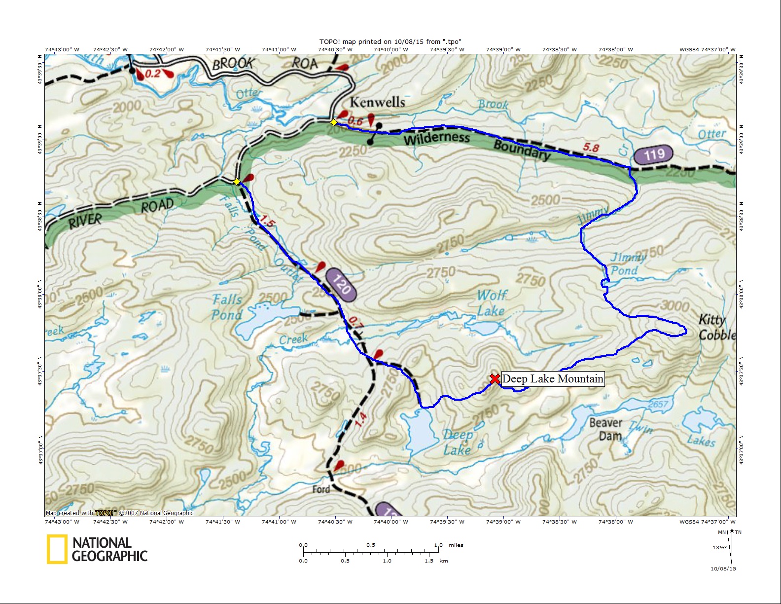
It can be a long drive to get to some of these mountains, for me and many who venture this way. From my house it's a 2-hour drive along state highways to Inlet then it's nearly an hour drive back to the trailhead along dirt roads whose condition is very rough for our low clearance vehicles. Jim and I had a two-car traverse planned for this outing so we both had to make the white-knuckled drive through the plains. Jim's was a bit more hair-raising as he was borrowing his wife's car for the day and the thought of being in the dog house and Ramen Noodles for the next month was enough for him to take it slow. We spotted my car at the southern trailhead to West Lake and drove back up the road to the northern trailhead that leads to Cedar Lakes.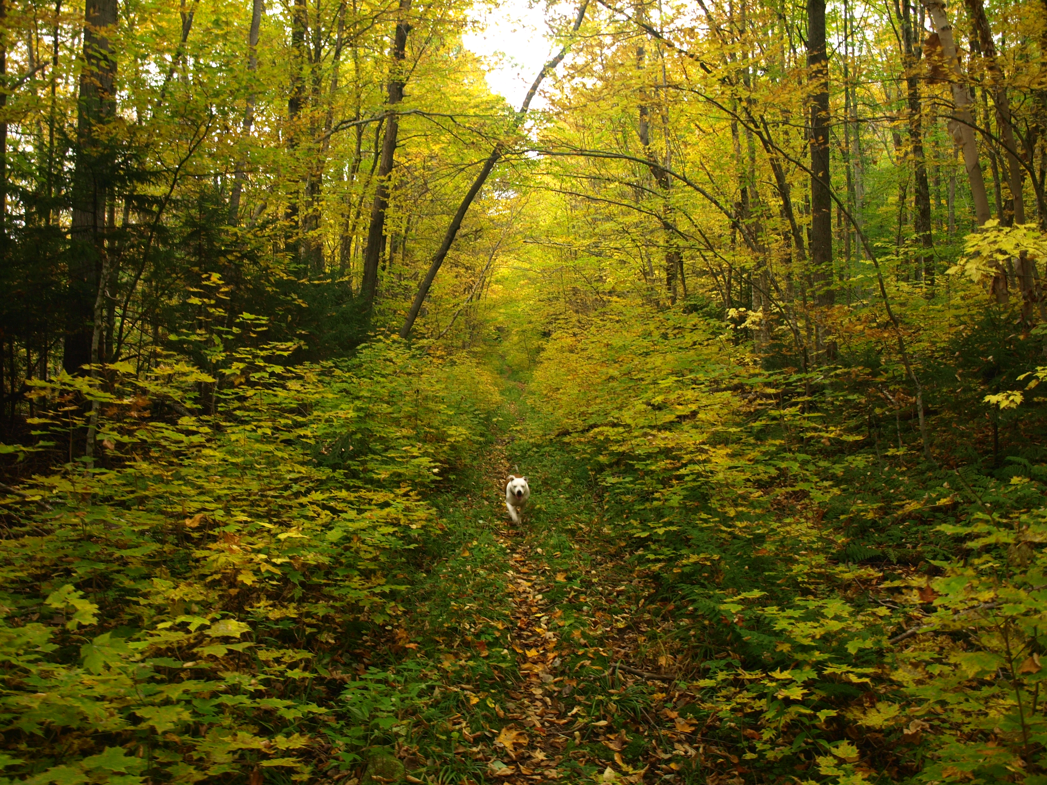
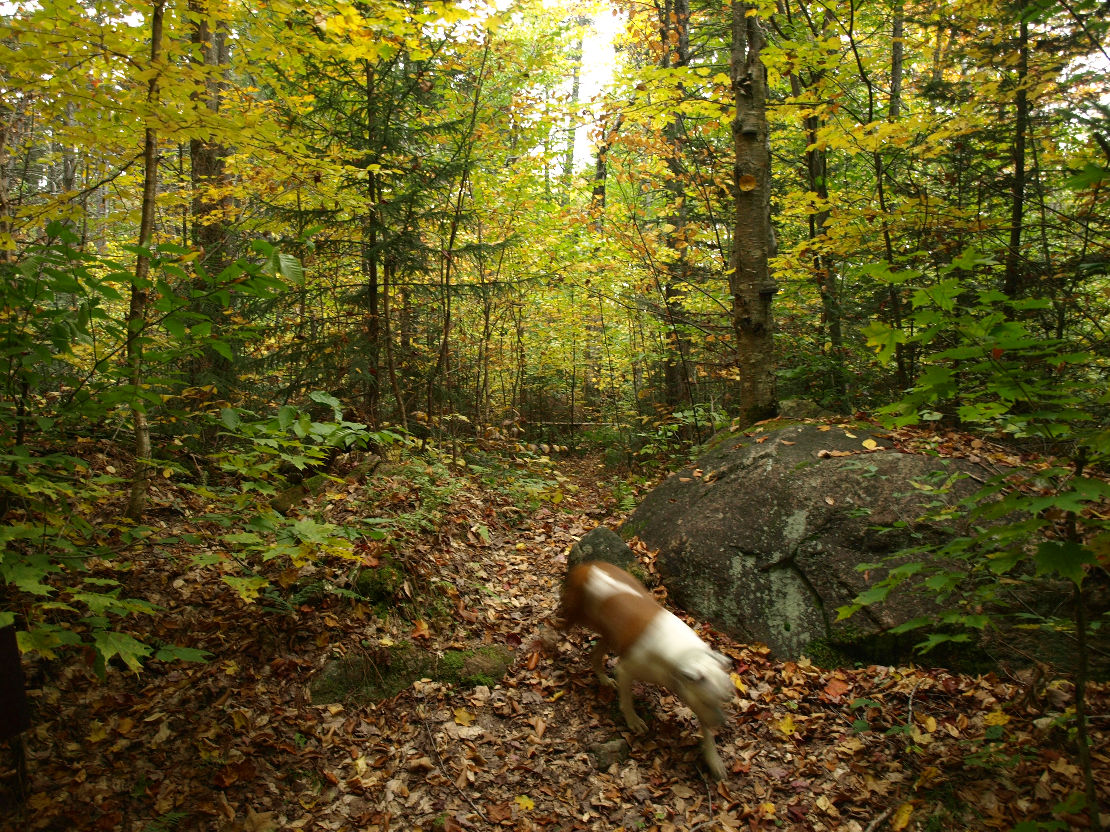
We started our tromping along the old road, passing by boulder blockades and a washed out area similar to that of the "Little Grand Canyon." Jim's vehicle would have been swallowed up in that crevasse. From there on though, the trail was in great condition under its lightly-used stature. It was narrow enough in spots to get closed in by vegetation - bright yellow and orange vegetation at that. Autumn colors sure did add a bit of serenity to an otherwise not so exciting walk.
Heading up to Jimmy Pond
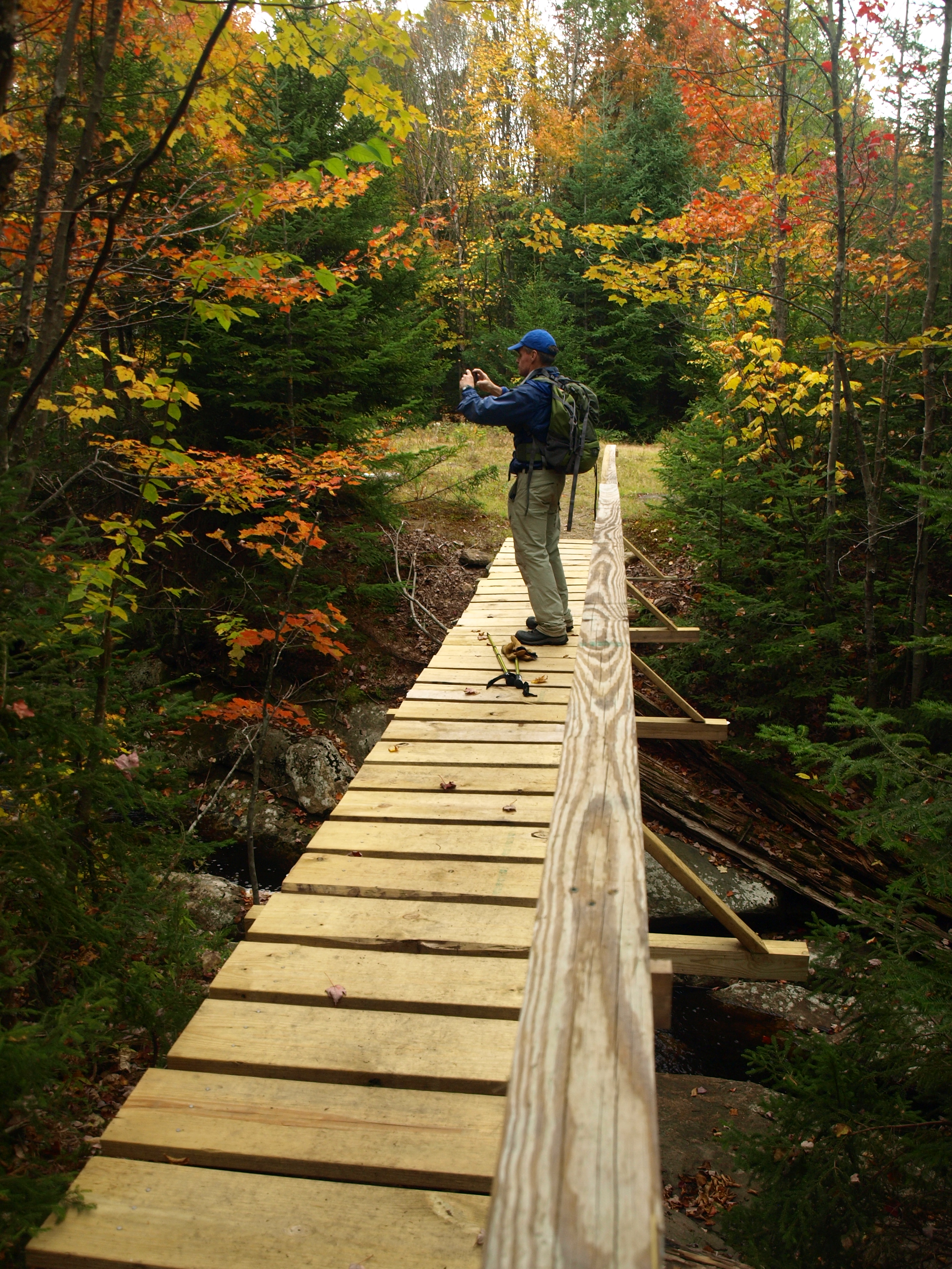
It wasn't all that long before we stood at the bridge over Jimmy Creek, an old metal DEC sign announcing the destination. Now obsolete, the metal signs are a neat splash of history. A bit of blow down over the creek near the bridge raised the concern that we might not be able to rock-hop its course as easily as we had hoped, but we would give it a try nonetheless. We climbed over and under the few trees that blocked our initial steps atop the boulders before we were able to move on without restriction. The creek opened up in a wide field of small and large boulders. Some were loose but most had a firm grasp on the creek bed allowing us to scuttle along rather quickly and effortlessly. "Fool's Gold" glittered the creek below us giving us the dream of striking it rich, but knowing we would fall trap to its beauty.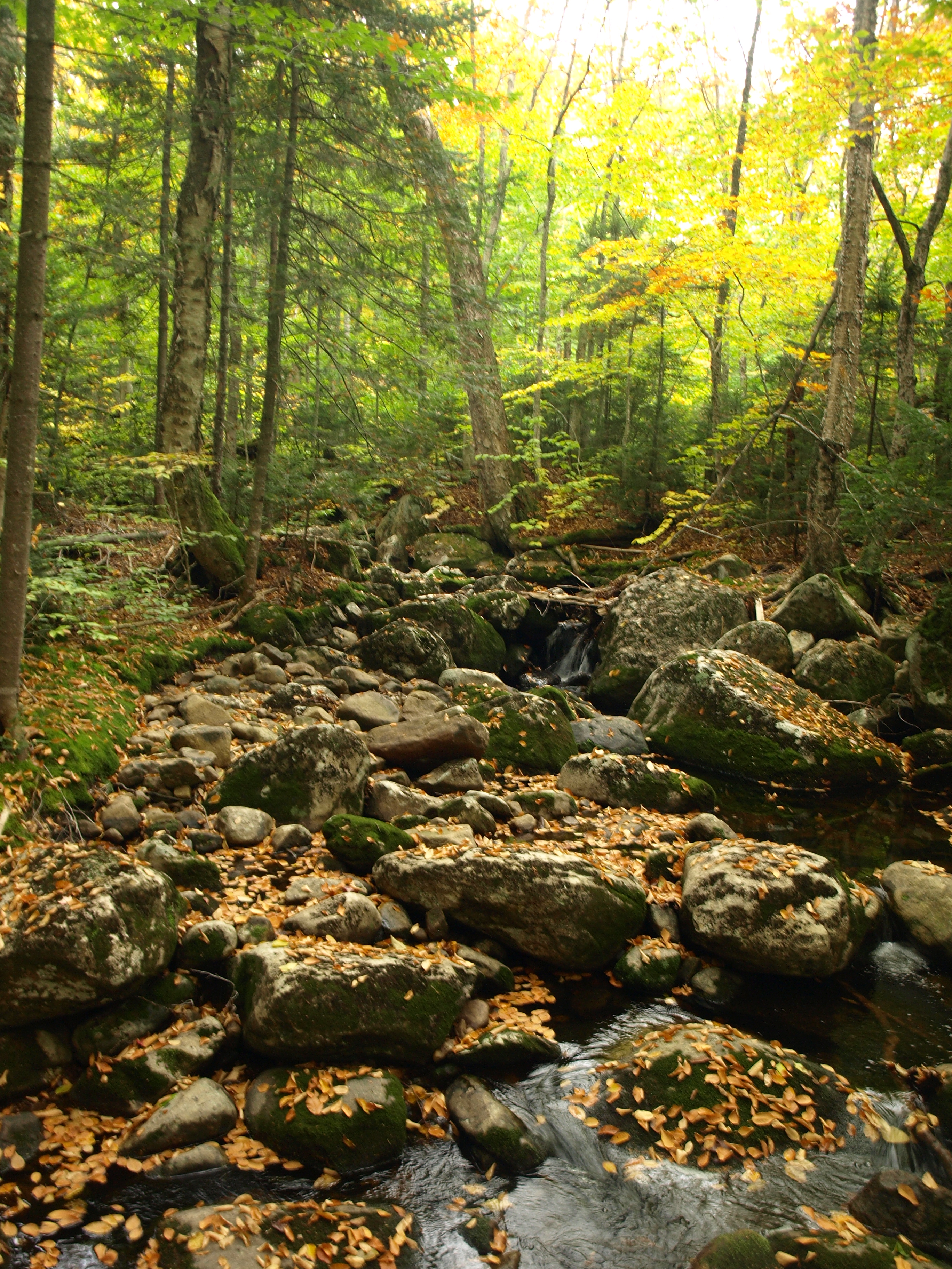
On occasion we would be gifted with small waterfalls and a rocky gully but overall the creek was very gentle in its cascading. I had my eyes set for a split in the creek and it was imperative that we use it to get to Jimmy Pond. I set the location in my GPS as we knew many brook intersections are hard to recognize and can be easily missed. Even with the coordinates set we wandered past, luckily only about 100-feet before we checked in on our location.
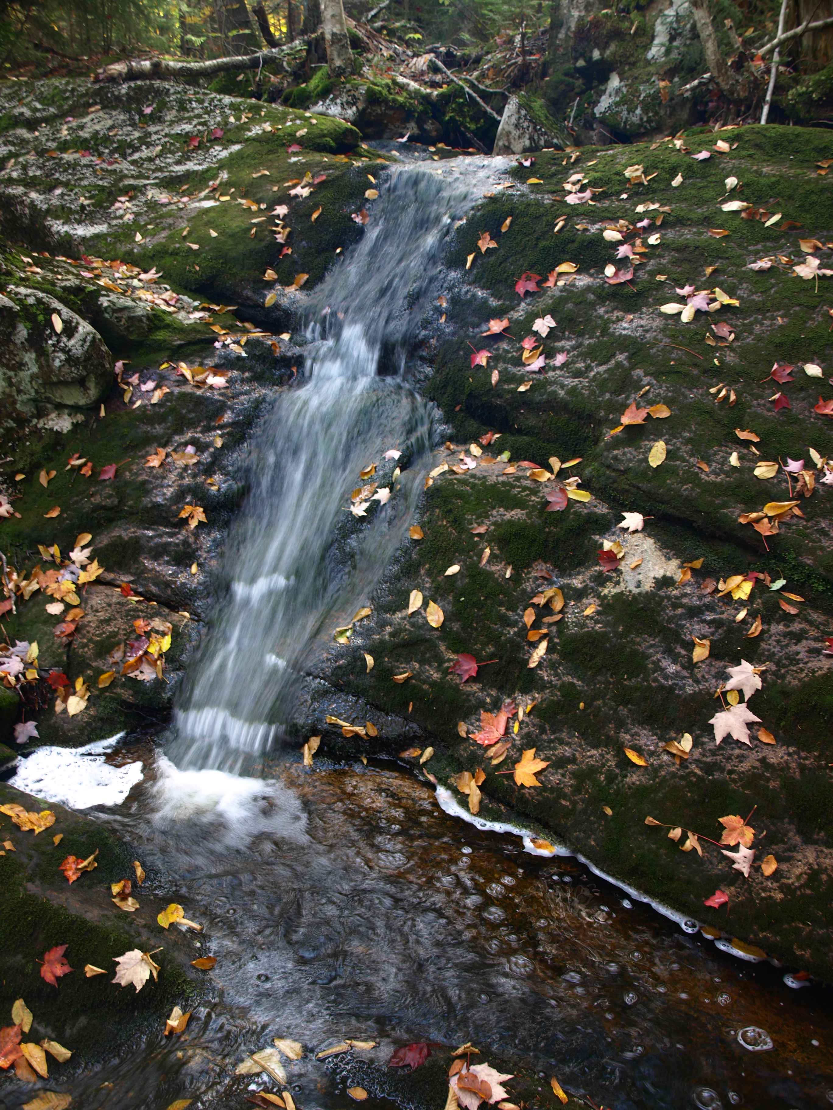
The branch was very small, barely holding a trickle of water and hardly cutting a course through the forest, we couldn't even navigate it without fighting the deadfall. We exited the brook at this time, but with the plans to follow it as closely as we could. I cut a strong oxbow in the creek to remove any additional mileage by following all the meanderings. We happened upon what appeared to be an old road, and the new growth all of similar species and size pretty much confirmed it. The old road led us back to a gorgeous section of the brook and up to a small rock slide and open slab rock that the creek made a path over. The red of the maples and clear waters made for a wonderful, picturesque location. We hiked along the rock slabs which continued to appear before us until they disappeared into a wetland.
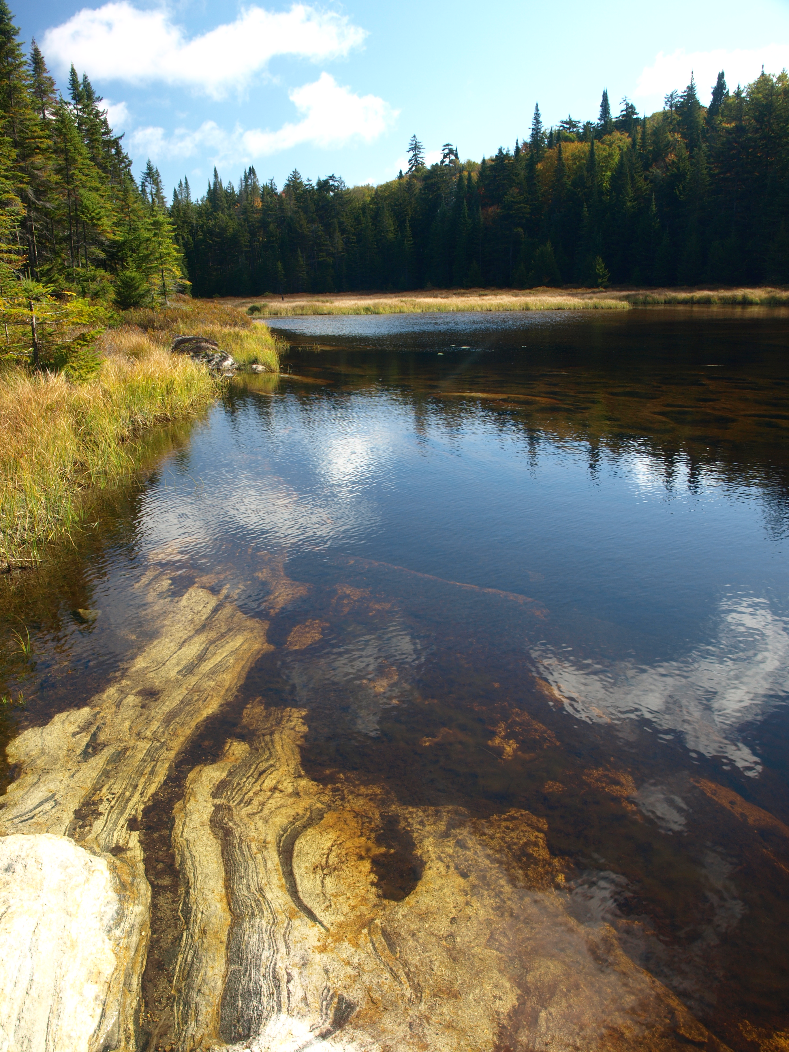
Making our way through the tall shrubs and grass of the wetland we quickly found ourselves at the rocky base of Jimmy Pond. This hidden back-country gem was a wonderful addition to a traverse whose outcome was still unclear. But clear enough was this shallow sheet of water brightened by the yellowing leaves of fall.
Kitty Cobble a Hamilton County 3000 footer
Kitty Cobble was now less than a mile away, 0.74 miles in a straight line, but on the opposite side of the pond. We needed to circumnavigate the pond, and to the west looked to be the best option for us. The back side of the pond and much of the hike through the forest was thick undergrowth of chin hobble. While beautiful in their new fall wardrobe they certainly made it clear how they got their name, chin hobble. Entwined at the base and chin high, the lower branches tripped us up each and every time we tried to just push through and not step forward. Taking a beating on a few occasions my chin bone was starting to get a bit bruised, and unlike the rest of my body, there's no padding there.
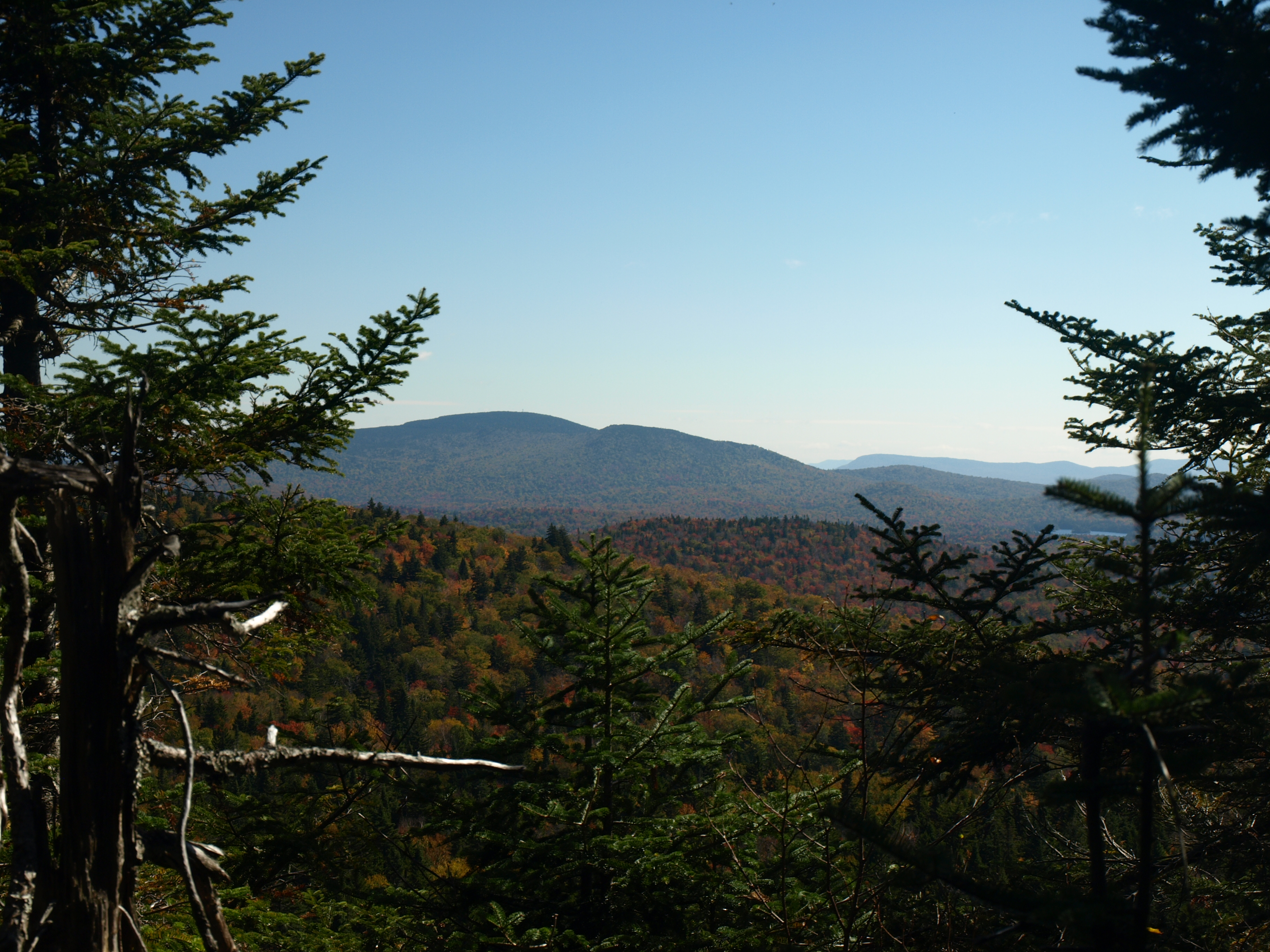
The terrain was at a low grade making for a walk that wasn't all that demanding otherwise, until we reached the high plateau. The high plateau is a generally flat area along the ridge where land features were small but the spruce/balsam forest was not. The small growth was dense, coating our necks to our buttocks in fine pointed needles. We did all we could to find seams in the trees to make the route easier, but all we found was a narrow mossy carpet that was spongy like a bog with limited growth. We used this as we could and it almost got us all the way to the wooded top, but we needed to "swim" deep in the balsams one last time to reach it. We didn't hang around long, but we did manage to find a small ledgetop view overlooking the valley and Twin Lakes; off in the distance stood Pillsbury Mountain with its tower reaching high into the sky like a beacon.
Now off to Deep Lake Mountain
Lunch was at hand and well deserved as it reached ever so close to the afternoon hours. We would continue our traverse over an unofficially named peak, "Deep Lake Mountain." Again we had no idea what we would encounter, but this 3000 footer called our name, so we would respond in kind. We could not see this peak from where we stood, in fact we couldn't see much past the evergreen shield we stood behind, but we would need to penetrate what we hoped to be a surmountable force.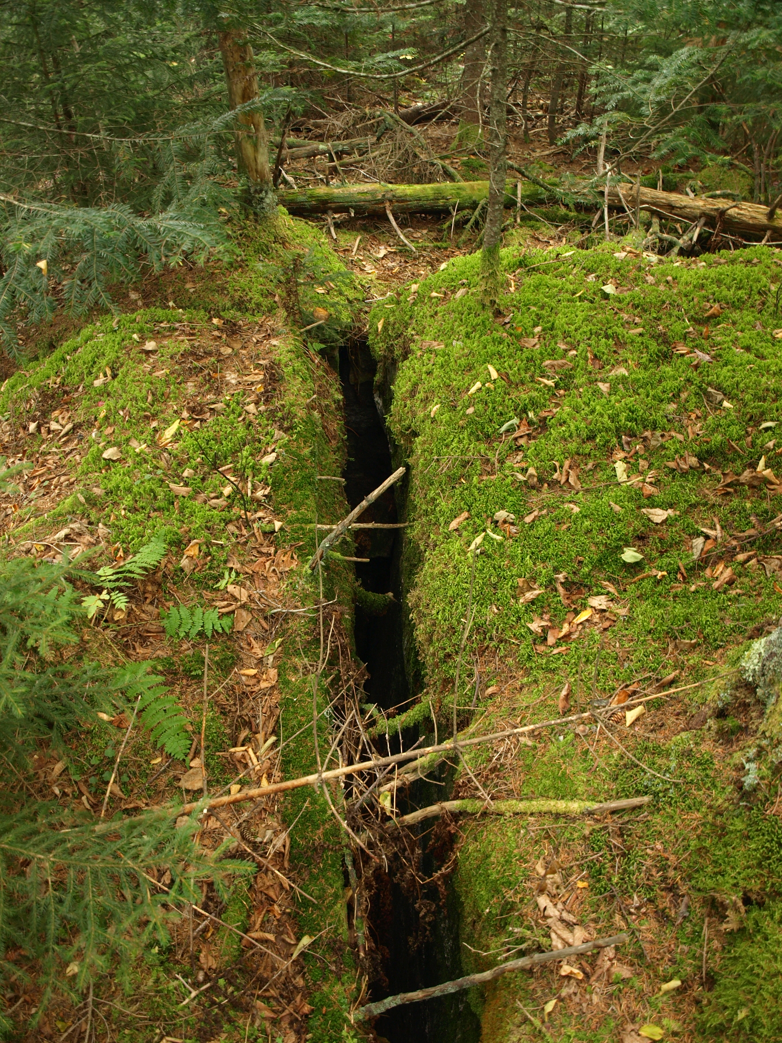
We pushed, pulled, cursed and even questioned our sanity but we won, we had made it to the other side and with not a drop of blood donated to the cause. The forest slowly opened up as we dropped off small ledges to the hardwoods below. Happy to walk freely without care once again, we made our way along yet another high ridge that would lead us to Deep Lake Mountain. No views were offered to us along the way, but the colors kept our eyes and minds full of joy. We would drop in elevation to under 2800' from the summit of 3240', but the loss in elevation was over a generously long course. In the valley we could see the rise ahead of us, and steep it was going to be. Large cliffs and outcroppings dotted this side of the mountain, but only an obstructed view of Kitty Cobble would be given, well over a mile away.
Deep Lake Mountain was upon us and standing atop the wooded summit we were surrounded by 12-15 foot deep, narrow cracks in the mountain. Essentially we stood atop a rocky mound that was opened up over time into a jigsaw puzzle of smaller pieces. Soon we were off and descending to the Shore of Deep Lake. A marked trail was located in the north shore and we were aiming right for it.
The Shore of Deep Lake awaits
The descent was steep, as we suspected, and it would be that steep grade that got us a fast exit off the mountain. We arrived at the lake almost right at the trail, only 150-feet and a field of Labrador tea separated us. The colors were dim and darkening as the sun was now behind the thickening clouds, rain was surely in our forecast.
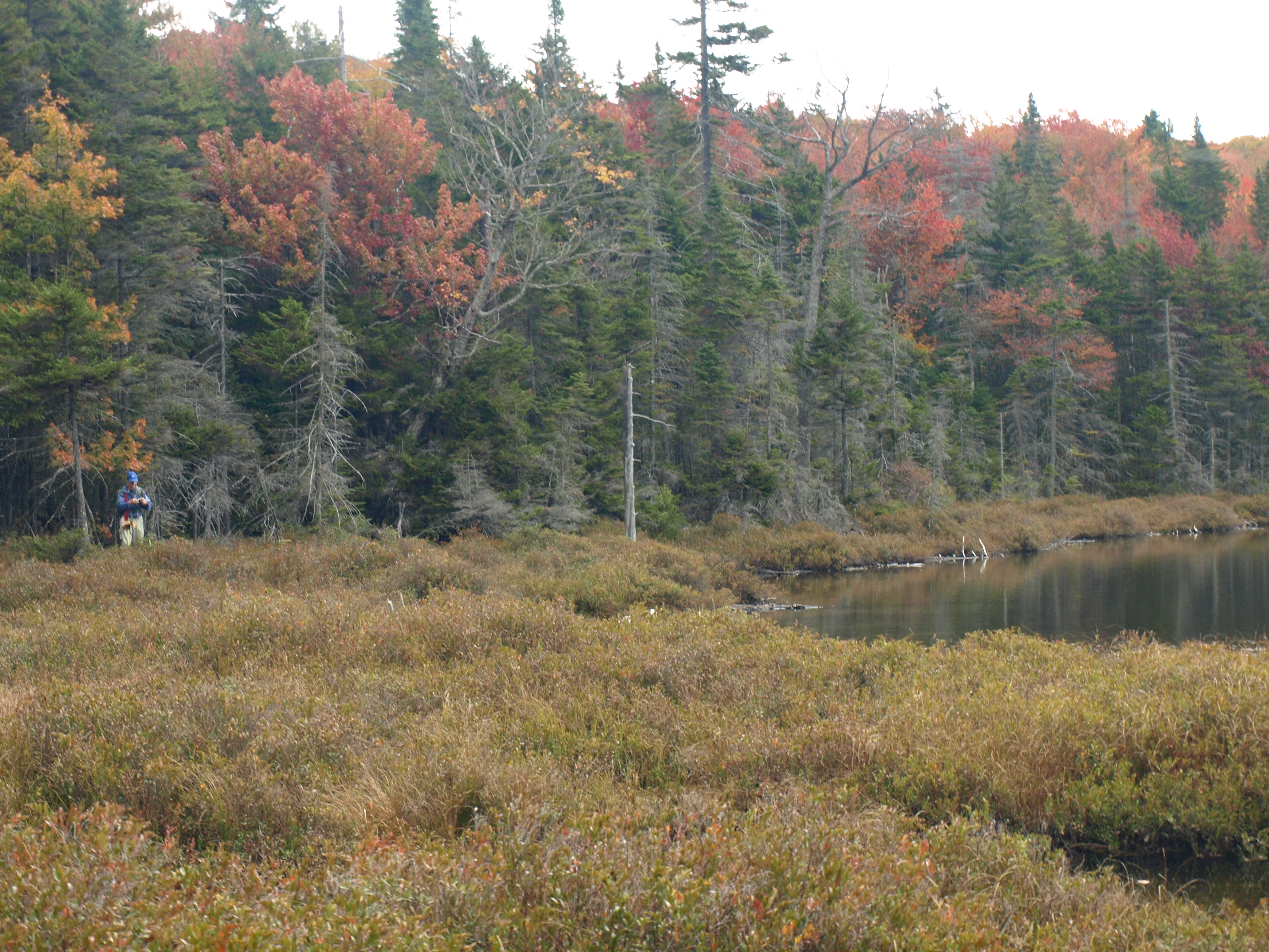
The trail felt like cushions under our tired feet and even though it climbed quite steeply away from the lake it was a pleasure to be on a course where we didn't need to think about our next turn, but instead to just walk. This route back to the West Lake Trail was a bit obscured and obviously very limited on its yearly visits, but overall easy enough to follow and well-marked. Once back on the West Lake Trail we knew we had this hike in the bag; but first we would need to saunter our way along this gorgeous path through the forest. The colors were extraordinary along the entire route, unfortunately I think we just missed peak on this one, much of the leaf cover was now on the ground before us. We emerged victorious at my car where we had spotted it earlier in the day. While we had felt sprinkles of rain for the last hour or so, we knew it wouldn't be long before the skies open up, and on our drive out of the Moose River Plains it did just that.
As I mentioned I hope to get back into the Moose River Plains one more time before the road closes, and if I do, I will be sure to share. If I don't, I know the heart of the Adirondacks will surely call my name soon enough and I will be back with more adventures into the mysteries of the Adirondacks.