Hiking in the Wilds of the Moose River Plains
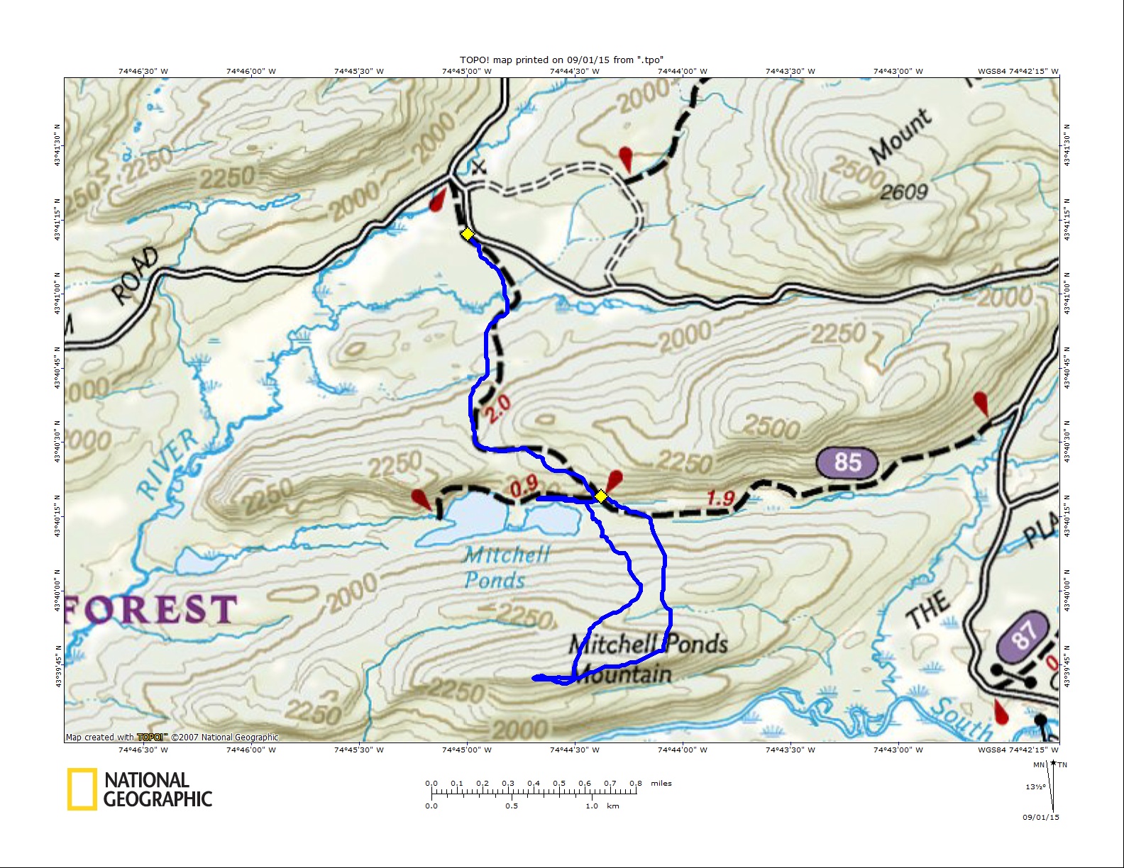
Can a mountain be delicious? If so, I think Mitchell Ponds Mountain might be a gourmet treat. I mean who knew that this 2400' summit on the outskirts of the Moose River Plains would have such a stellar payoff? Barbara McMartin that's who! I was reading her Guide book to the region and there is was a description of the mountain - I had to go. Now mind you that was some time ago, but today was the time I would actually follow through.
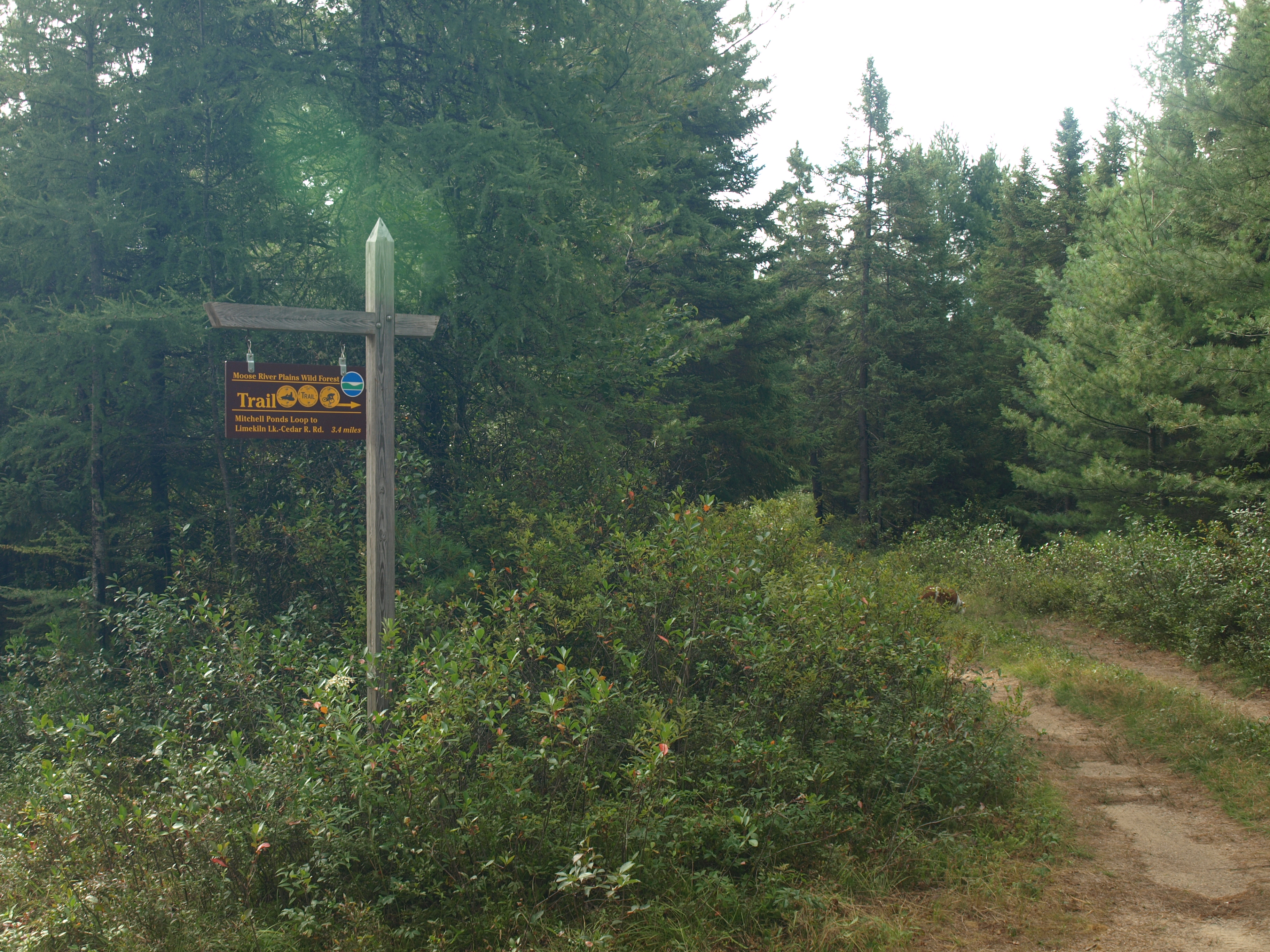
A quick invite went out to my buddies, Jim and Alan, to see if I could get a bite on a partner for this sure payoff. Jim bit. Alan unfortunately had to bail due to an unforeseen electronic mishap that needed to be resolved at home. We met at the corner of Route 9 and Limekiln Road in Inlet and started our drive over to the trailhead. The Moose River Road, as many of you may know, is not the friendliest of roads on vehicles with low clearance so we took our time playing a crude game of tag with all the exposed rocks. The trailhead was actually quite obvious, not what I was expecting after our ordeal with the Sly Pond and Butter Brook Trails last year. The trail's new sign advertised the fact that it is also for mountain biking and snowmobiling, so if you want to approach the mountain on two wheels this fall, go for it.
On toward Mitchell Ponds
Passing through an open field, overgrown with bushes and brambles, we had a great vista of Mount Tom - a future investment of my time. It wasn't long before we quickly dropped on a steep slope to cross a snowmobile bridge. This was one like I had not seen before, and I was sure glad it was there, otherwise it would have been a tough water crossing. We climbed out of the shallow beaver-created abyss and continued climbing, and after even more we crested the height-of-land along the trail and started a rather lengthy descent to the spur trail for Mitchell Ponds.
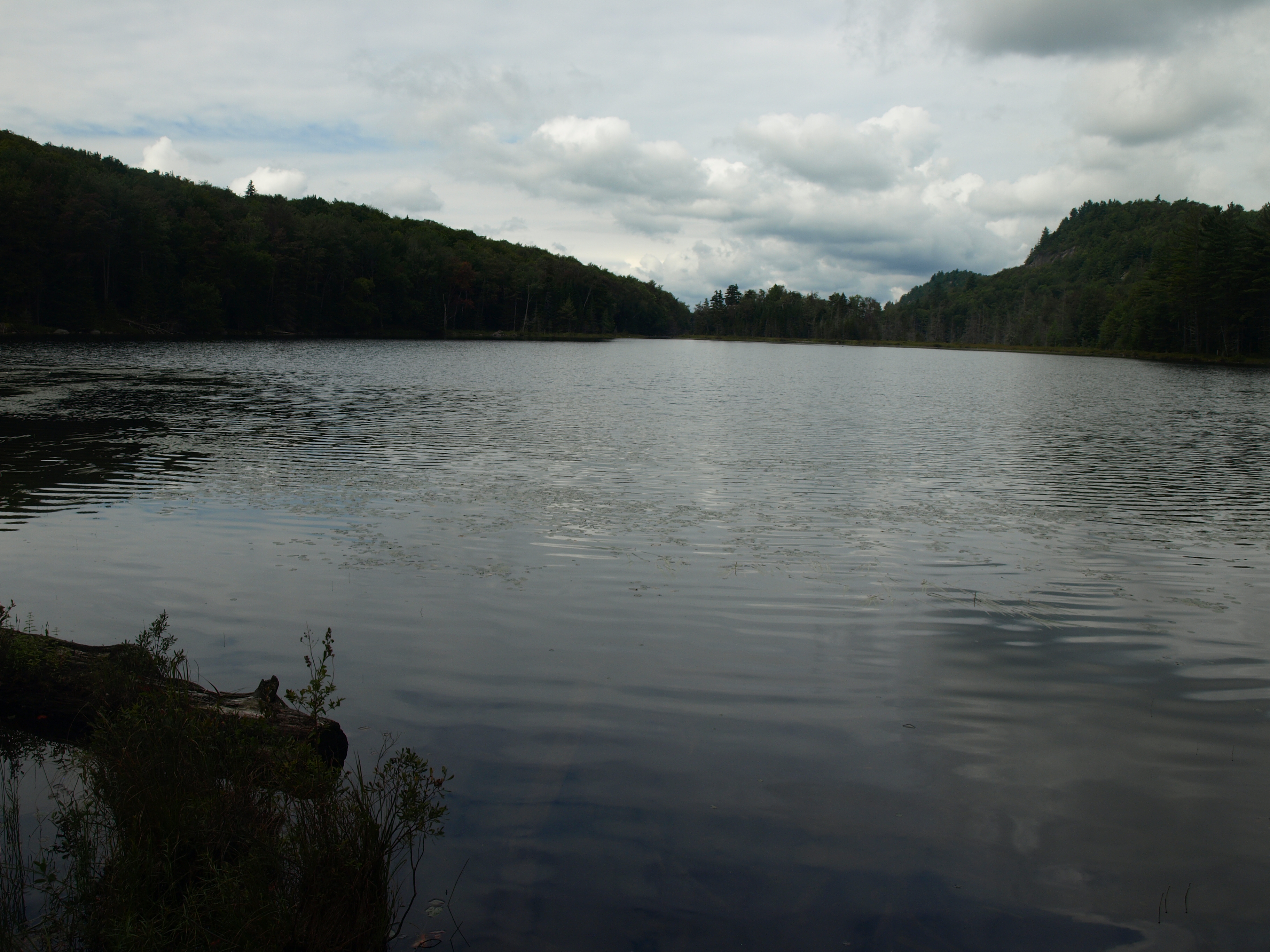
We walked up the spur trail a bit to gain a view of the mountain - which from this angle looks like nothing more than a non-impressive ridge; I could see Jim has his doubts. We backtracked to the main trail and followed this around to the access dock on Upper Mitchell Pond. From here the view was much better and we could see the cliffs overlooking the ponds. Known as Mitchell Ponds Cliffs they are located on an unnamed ridge on the opposite side of the mountain we wanted to visit.
Mountain or Bust
From here we would look for a good spot to start our bushwhack. The forest looked open, but it also looked to be quite wet near the base. We watched for a "land bridge" that might keep us higher above the muck, but we ended up right on the edge of it. Luckily for us the dry spell and age of the beaver flow has drained it dry enough to hop from log to log and get across unmarred. Now, onto the slopes - which were not all that threatening. The grade wasn't all that steep and we only needed to gain a few hundred feet to gain the ridge. Passing over old woods roads, now overgrown to an almost undiscernible state, we ignored their calling to be followed. Gaining the ridge we could see the light through the trees, beckoning us to see its offerings. We hit the top of the ledge, only about 0.1 miles from the true summit. We went directly for the summit before we started to take in the views.
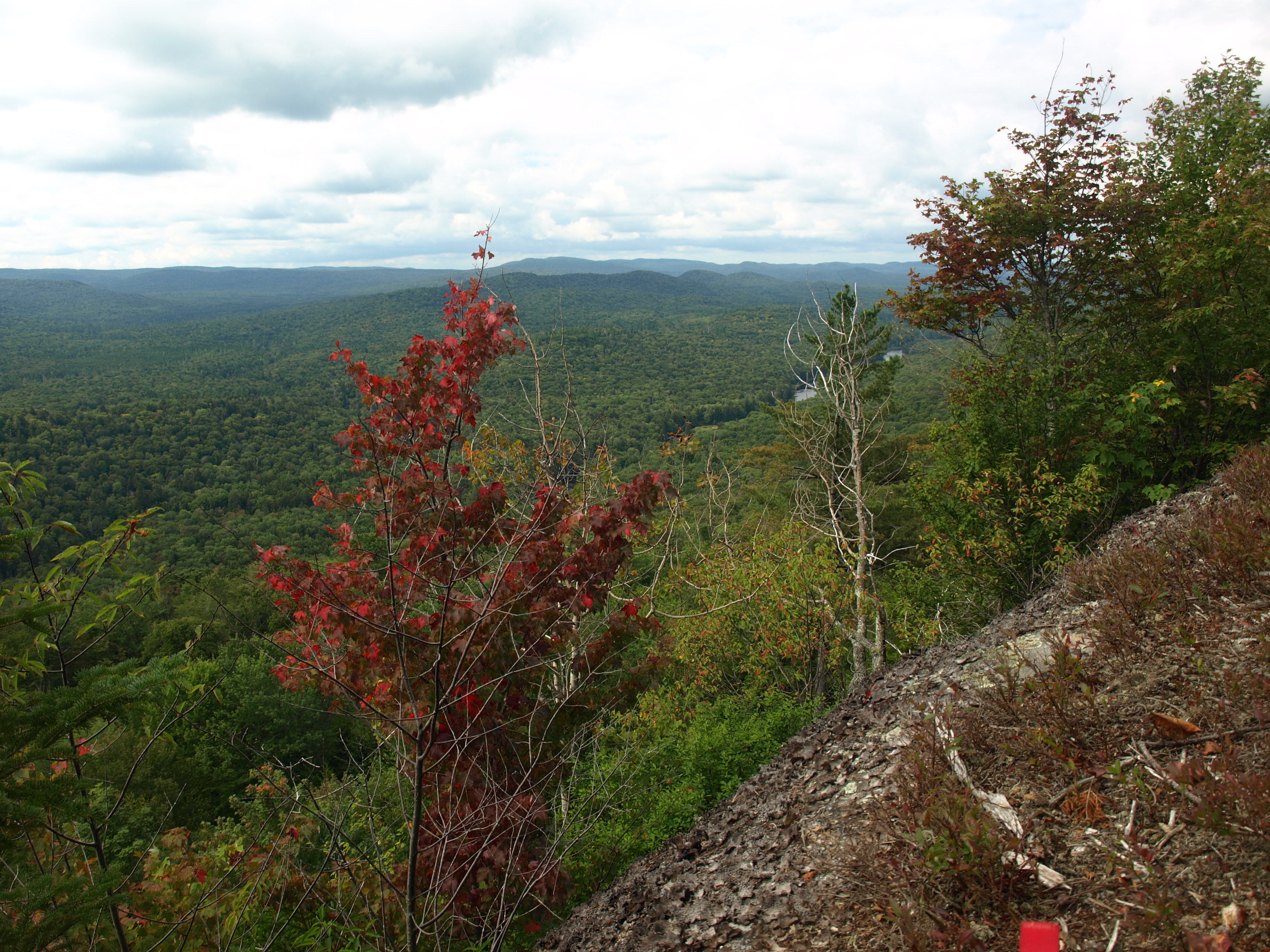
Our lunch break came atop a wide area near the summit, just enough room for us to sit comfortably without having that formidable feeling to jump. Resting and soaking in our appreciation of the surroundings we heard a float plane getting closer. Then there it was just above us, clearly in sight, it went past and made an abrupt U-turn and slowly dropped and landed on Beaver Lake below us; being in a wild forest this is still allowed.
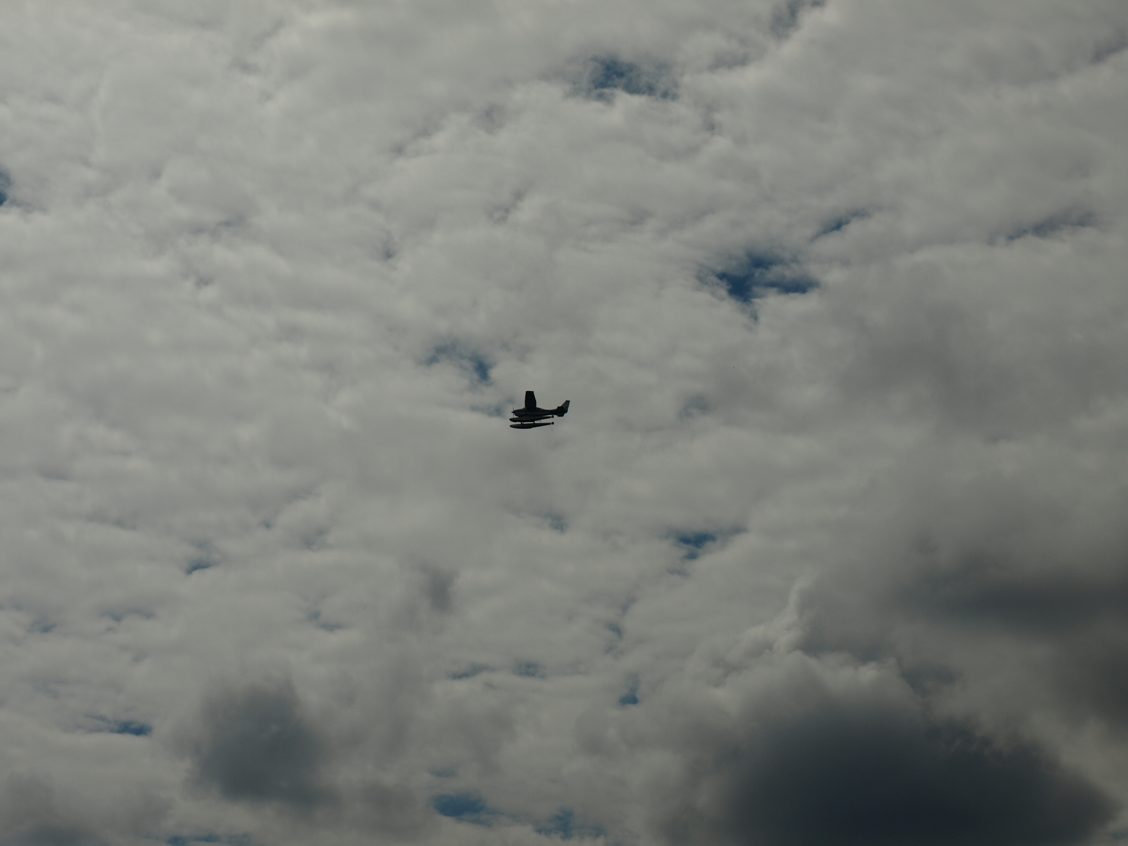
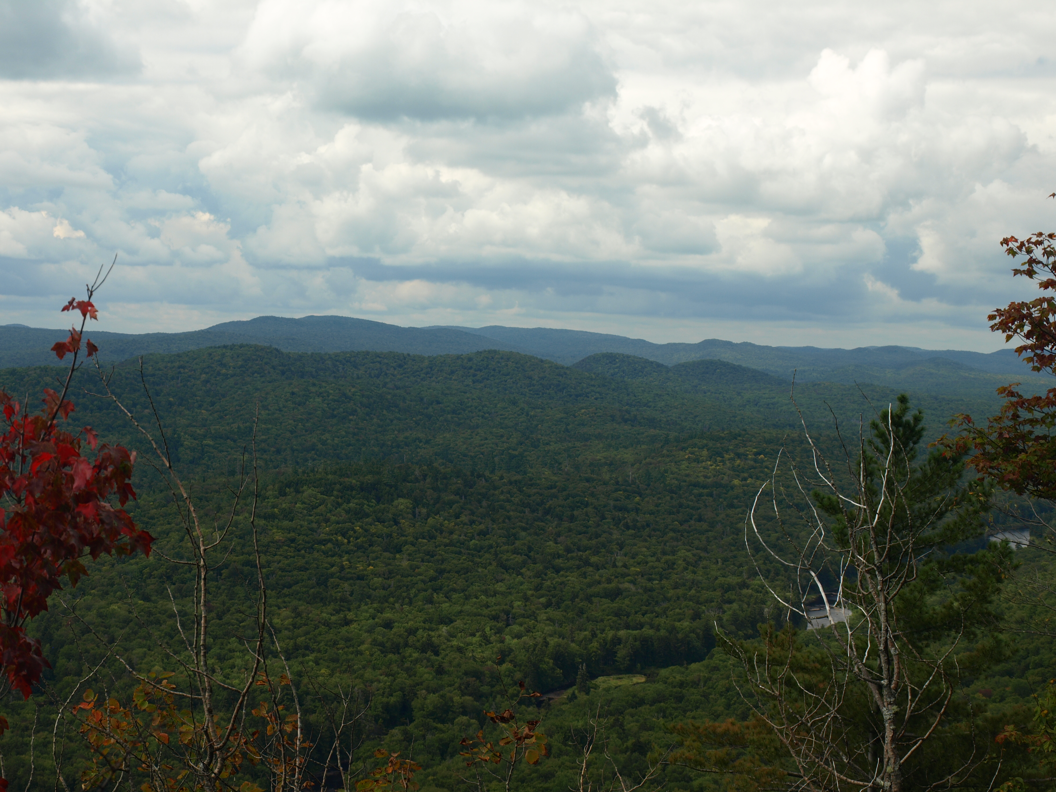
After lunch we decided to check out as much of the ridge as we could muster. Heading east along the ridgeline we came to view after view, but the travel was horrible. A force of wind had blown up over the cliffs and pushed back hundreds of pole-sized balsam and spruce trees, unrooted slightly they rested as skeletons, not far gone from this earth. Stepping on some, going under others, and mostly stepping through many, we gained dozens of viewing platforms along the nearly 0.5 miles of open rock on the south side of the mountain. Some open portions were wide enough to tread, but mostly we had slightly different variations of the last. The float plane took off just before we exited the ridge with our final view of the day looking back on Little Moose Mountain and Cellar Mountain, as they stood tall like big brothers in the plains.
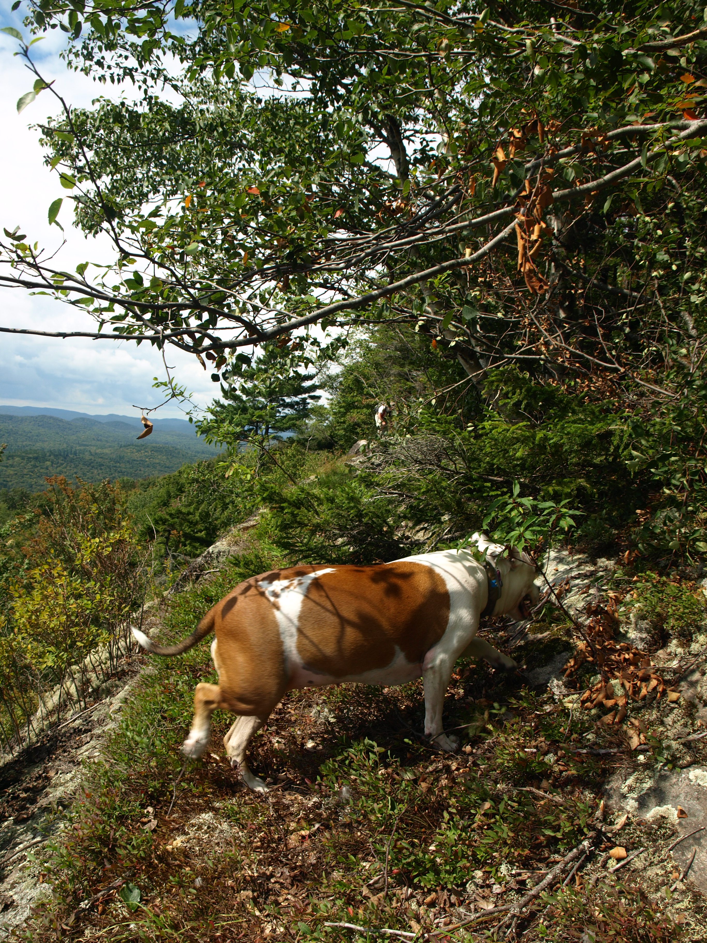
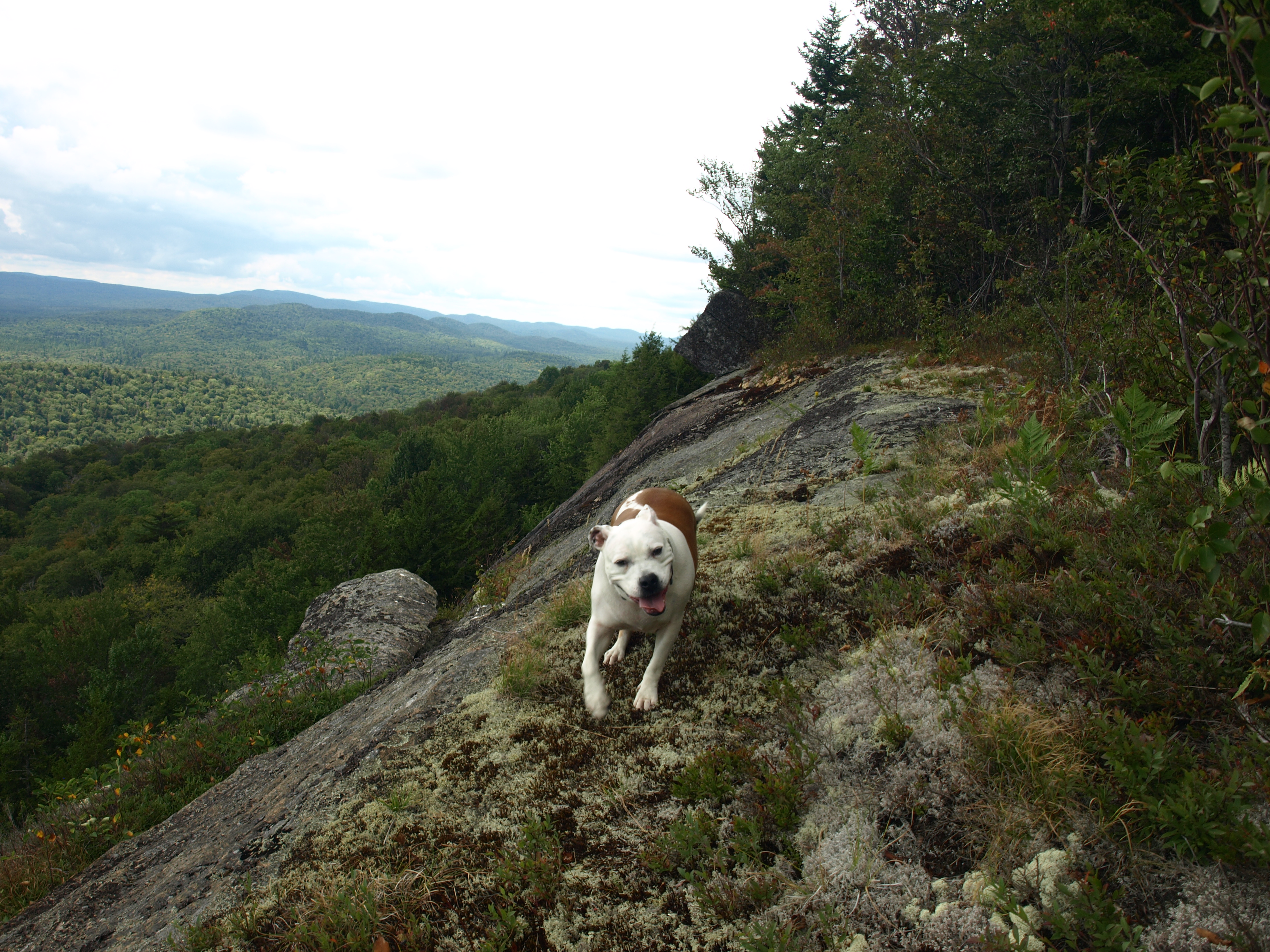
Our descent was quick and uneventful - as we like them to be at times. Now a bit further down the ridge then where we hit it on the climb, we knew that we would end up a bit further along the trail. This was OK too; we enjoy hiking on trails on occasion, especially those that get such limited use.
It was now time to get out, and we did, Jim keeping my ear full for the walk out. Back at the car, I couldn't get the hiking boots off fast enough; I only wish I had remembered a clean shirt. It was still early, which at times can be a blessing. I took this blessing as an opportunity to swing by Screamin' Eagle for a brew, pizza, and wings – now in hind thought; I never need an excuse to go there.
