Exploring a remote peak in the Siamese Pond Wilderness
Note: Please respect the rights of property owners and stay on the trail — there is no public access to Kings Flow at this time.
Buck Meadow Mountain, at least on a map, has always been a peak I desired to check out; I still don't understand the allure it had on me. So, it finally came to the day to start planning the hike. I needed to look over the map, design a route plan, and then most of all see if I could coerce someone to come along with me. My buddy Jim didn't need any strong-arming, just an invite and there it was, scheduled for March 13th.
I had been watching the forecast closely and after a few days of very warm weather, I knew it had the potential to be a tough trip. The unseasonably warm 40 degree days would surely settle the deep snow, but would also create a crust on top of the powder. The questions were: how thick would that crust layer be, and how deep was the remaining powder below? My other concern was whether or not the trail to Puffer Pond had been hiked or skied at all this winter or if we would have to break that out too. My questions would soon be answered as the day of the hike was upon us. We met at the trailhead located at Kings Flow in Indian Lake, where the temperature was already a comfortable 18 degrees, with a projected high of around 36.
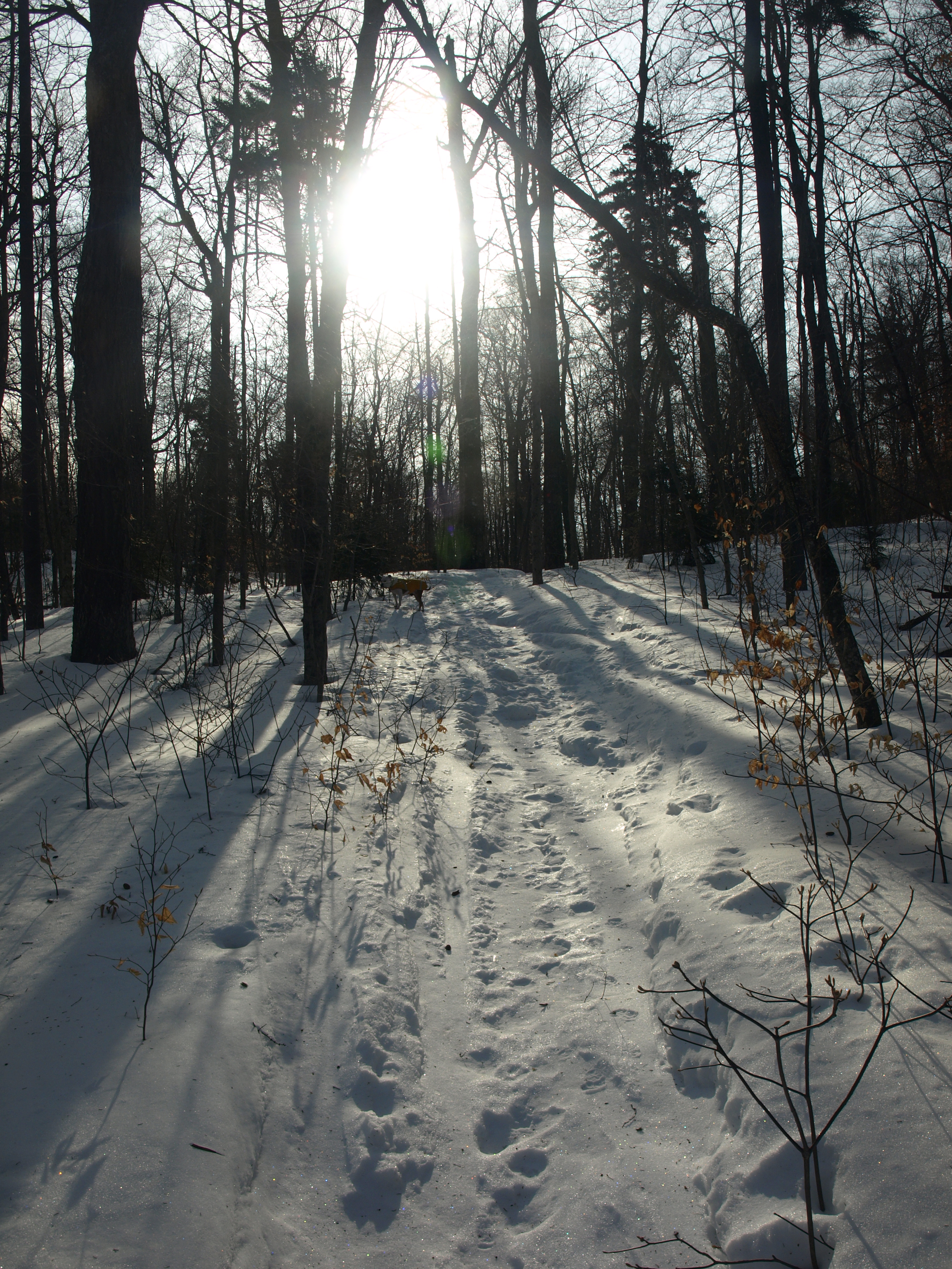
Hitting the Puffer Pond Trail
Passing by the trail register we were quite relieved to see the trail to Puffer Pond had been skied, and by the looks of it, rather often in the few weeks leading up to this day. We made fantastic time along this wide trail and seeing as the trail was like a concrete sidewalk we found ourselves well ahead of schedule. To our delight, the trail continued to be packed past the John Pond Trail intersection and up over the high shoulder of Bullhead Mountain. In no time at all we had made the 2.4 miles to Puffer Pond. We snowshoed down to the Shore of Puffer Pond to take in the scenery and snap a few pictures and returned to the lean-to located nearby.
The trail continued along the Shore of Puffer Pond, but it was no longer broken out, or even touched by anyone over any course of the last few months; it was time to dig in our heels and break out some trail. I went first and happily I stayed on top of the snow, the crust would be thick enough to hold my large stature. I soon realized that I spoke too soon, as every third step would prove to be the one that wouldn't hold me.
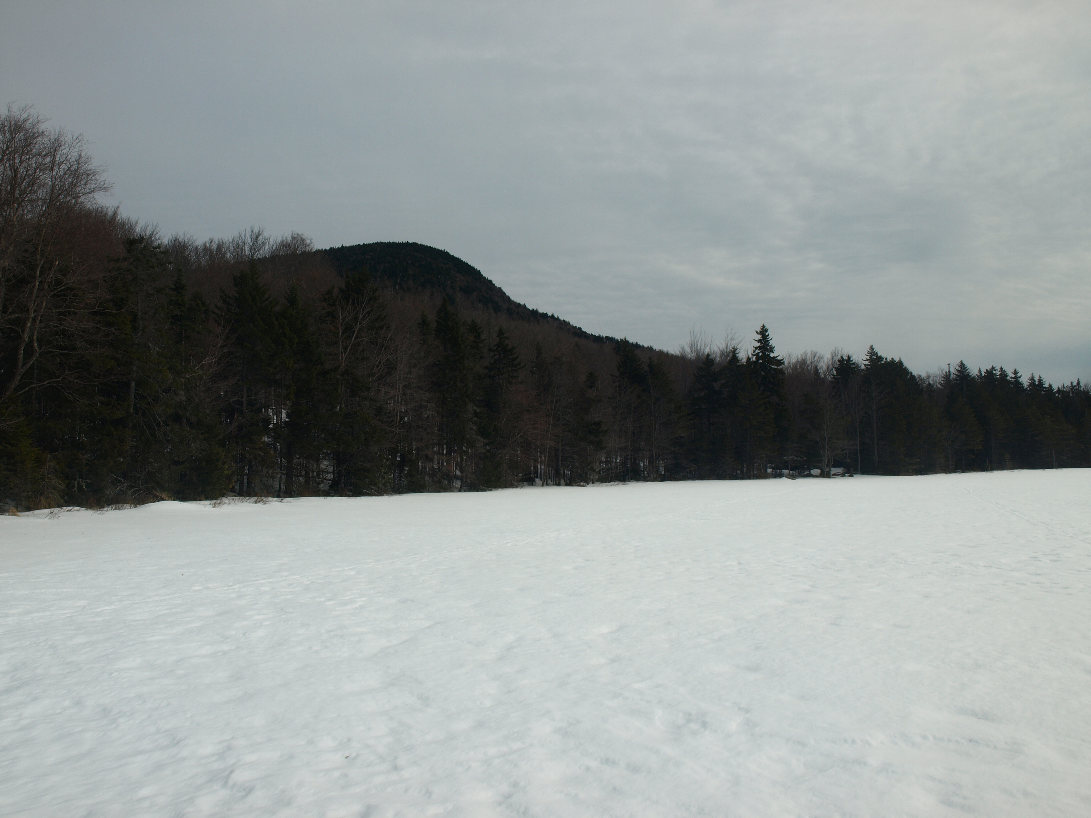
"Let's hike on the pond, it will be solid and wind packed down there," I suggested. I hate walking on frozen water bodies, even when I know there won't be an issue; you could probably land a small Cessna on most back-country ponds. I took the chance and fought my butterflies. The ponds surface was solid - as was the snow pack that rested atop it, and there they were... the ski tracks we thought no longer existed. Our predecessors had used the pond as their trail as well. Our cheeks hurt from the smiles we had as we walked on a hard surface with Puffer Mountain shadowing the pond behind us and the steep slopes of Bullhead Mountain in front of us. What a view, and a rare one at that. The only opportunity to see such a sight would be the way we were traveling now during the winter, or by boat during the warmer months - and I wasn't about to carry a canoe over that trail.
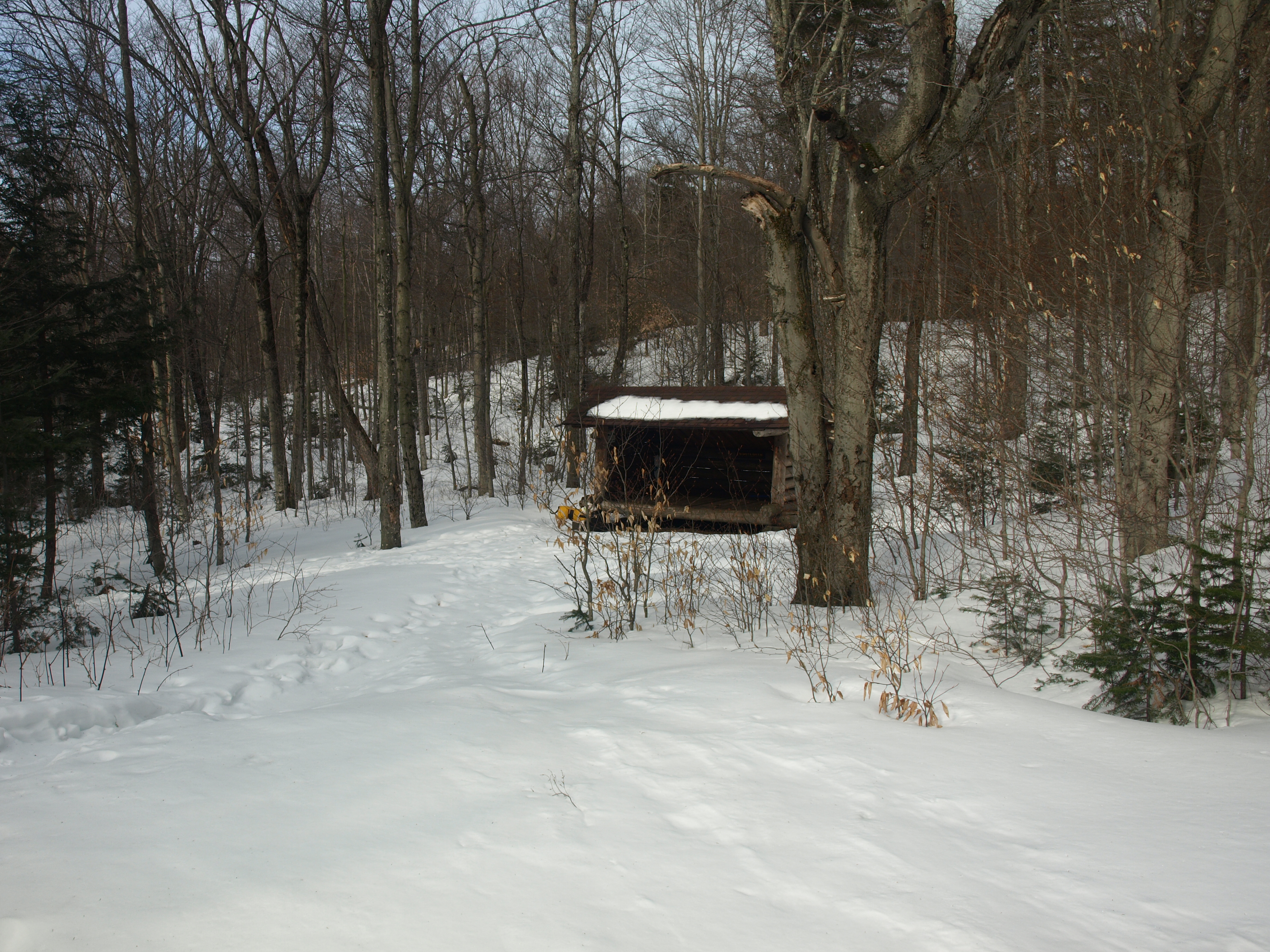
The lean-to on Puffer Pond
Now at lean-to #2 on the Shore of Puffer Pond, we pondered at its condition. Looking at it we almost felt as though we could have pushed it over. The heavy snows and lack of love, has left this lean-to in ill-repair. It has a solid floor, but the logs seemed to be a bit soft and it has developed an awkward lean to the left; giving "lean-to" a totally different definition. The trail beyond this spot, again to our surprise, was still broken out by consistent skiing activity. We kept up our solid pace and quickly came to the point where we would have to start bushwhacking up the slopes of Buck Meadow Mountain. We could see the mountain, quite clearly from the trail, but it looked closer than the 0.71 miles that my GPS indicated. What that meant was we were looking at a false summit, or we needed glasses. Now we would measure our progress not in "miles per hours, but hours per mile," as Jim so quaintly put it. Typically bushwhacking in the winter and breaking trail during that time would award us roughly a half mile an hour, or two hours per mile.
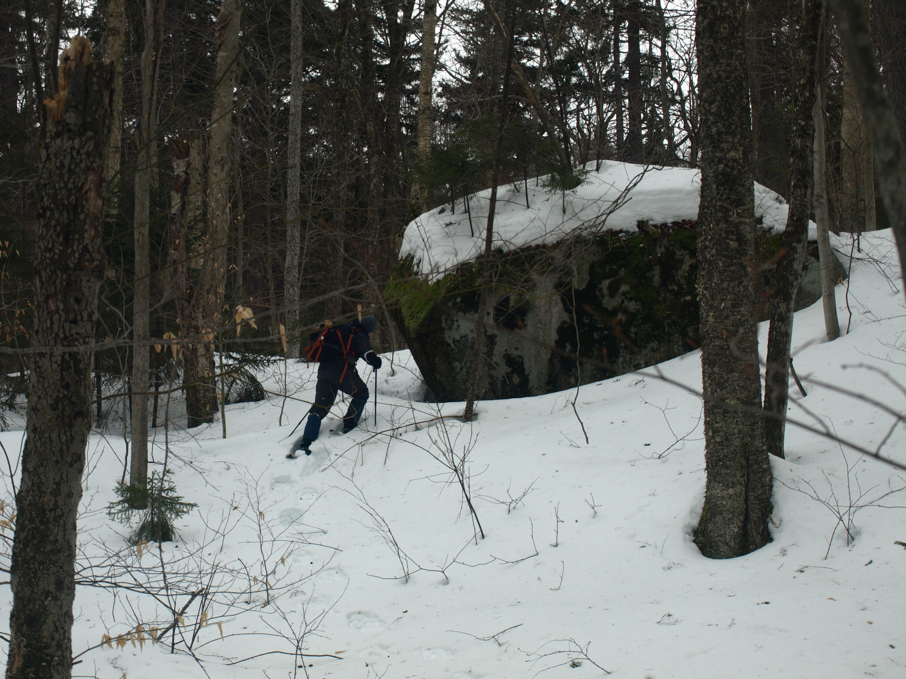
Buck Meadow Mountain
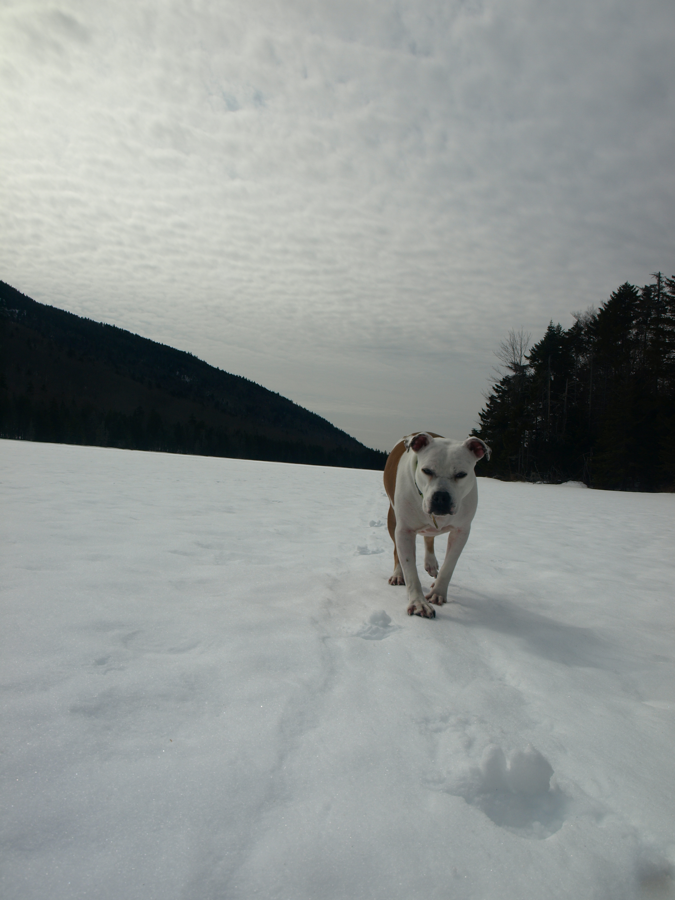
The forest proved to be a challenge. While I remained on the crust for about the first tenth of a mile or so, I soon would be challenged by inconsistent conditions. Abby, my four-legged hiking companion would prove to have the perfect weight balance and remain on the top of the snow most of the day, once she figured out that she could. For a while there she would try to walk in my snowshoe tracks, but this would just chaff her underside on the sharp crusty snow. After about a quarter mile of this, she started her out on her own trail fine. There are times I wish I could speak "dog," just to be able to tell her to walk over there and not on the tails of my snowshoes.
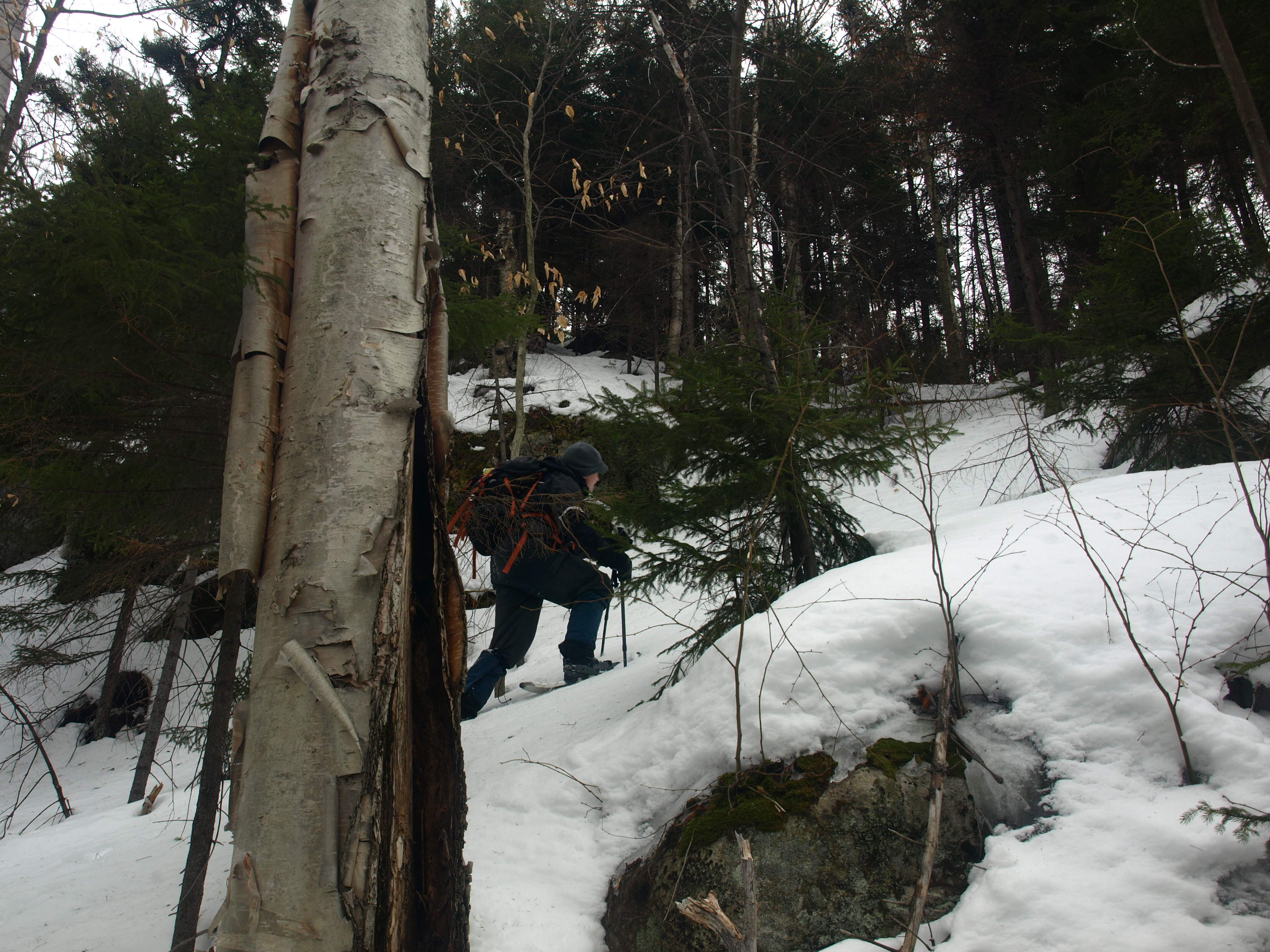
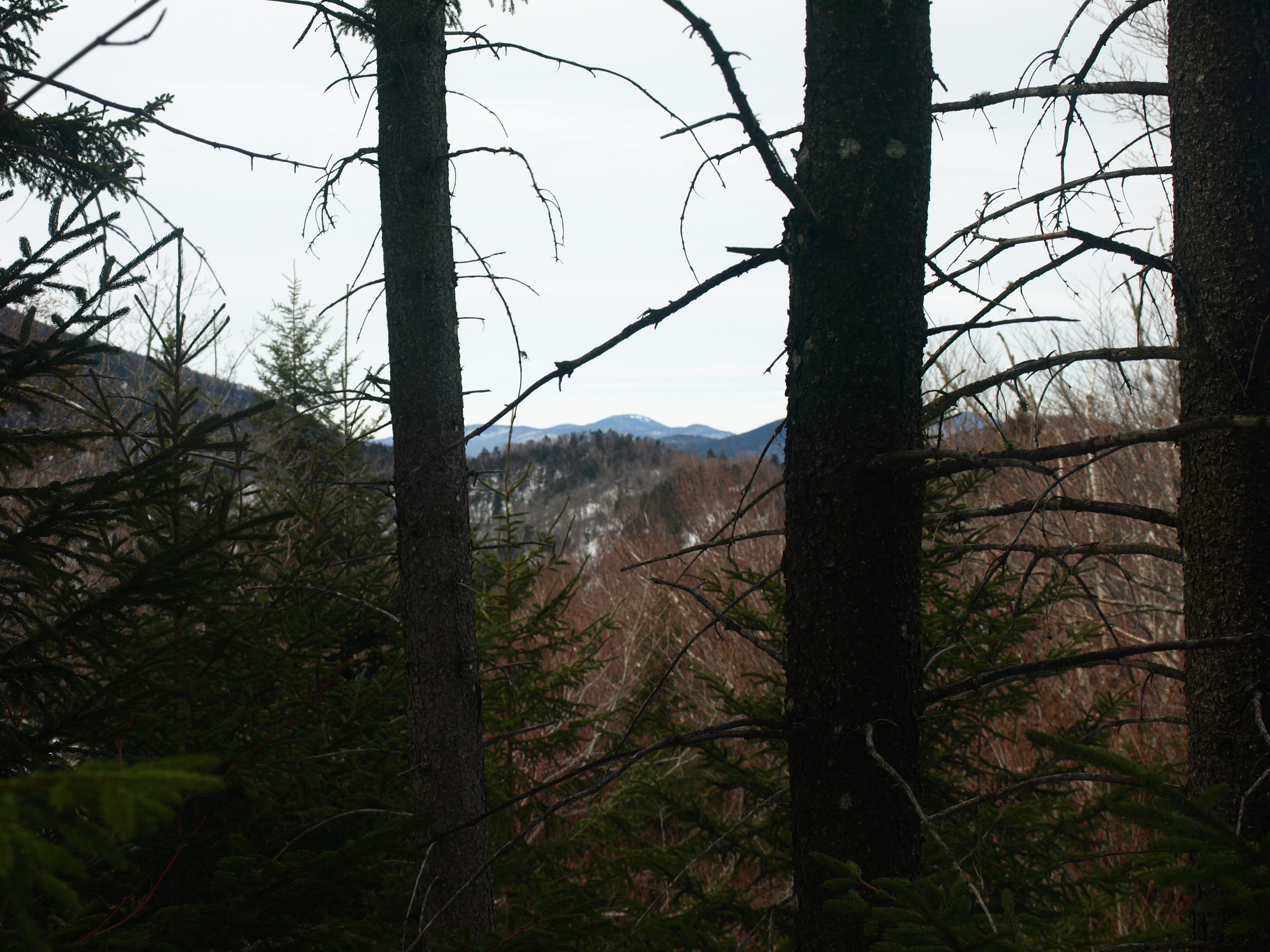
We pressed on through the wilderness, not all that differently than a herd of deer looking for the path of least resistance. The terrain would stay fairly mellow and with hardly a spruce to push through. We crested the ridge and could see the summit beyond, so we thought. A steep shelf stood above us just over a tenth of a mile away; Jim found the perfect attack point. We swung wide, and then up along a narrow shoot, where the snow was a perfect blend of thick crust and solid footing for our snowshoes to grip. We would top out with less than 400 feet to go to reach the true summit. Atop the 2500' Buck Meadow Mountain we were only prized with a peak-a-boo view through the balsams of Panther Mountain in the distance. The true summit was a wooded landscape along a flat contour line high above Twin Ponds and well below the 3000 foot peaks of the Siamese Ponds Wilderness. I ventured a bit further, only to torture myself to locate a view, none were to be found in the general vicinity.
Our descent was much easier, at least for me. The route was already broken out, leaving no surprises. We didn't deviate from our route up and made stellar time back to the trail. I estimate it at a quarter of the time it took us to climb this one. Back on the trail we joked about extending our journey by way of the looming Bullhead Mountain, a reiterating joke of ours! A short snack and water break at the second lean-to would be all that slowed us down from our return to the trailhead.
A typical car ride snack collection at Stewarts would be all we would do to prepare ourselves for our extended travels back home where a hot shower and an evening of 80s movies was waiting for me. With another mountain in the bag we were already planning for another late-winter expedition.


